Pueblos
Every pueblo, one place
MiPuebloPR launches with a first batch of pueblos and expands across all 78. Search by name, filter by region, and start somewhere.
Showing 78 of 78 pueblos
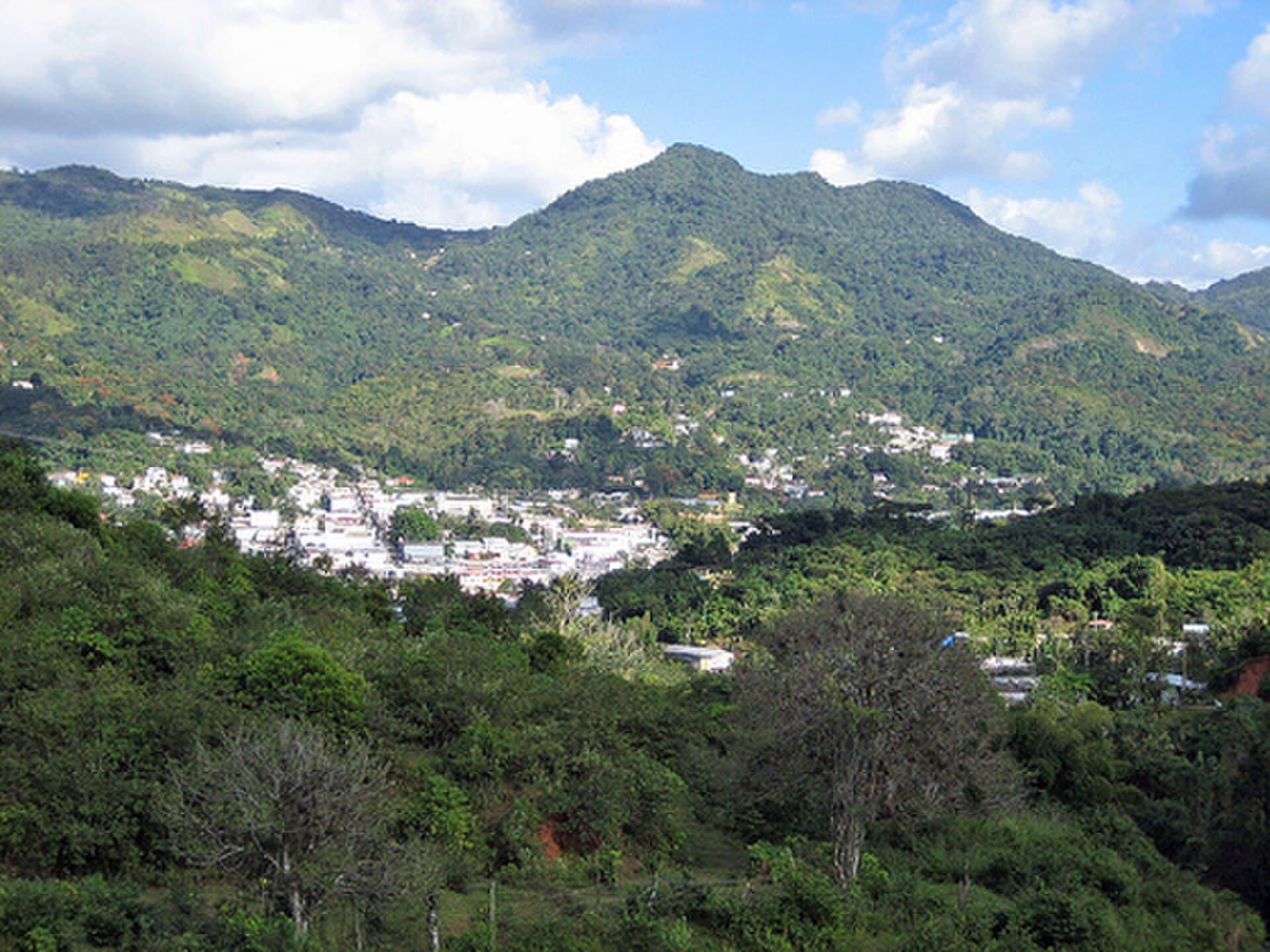
El Pueblo Dormido
The highest, coolest cordillera town — coffee farms, Casa Pueblo (one of the most important community organizations on the island), and a climate that asks for a sweater.
Explore Adjuntas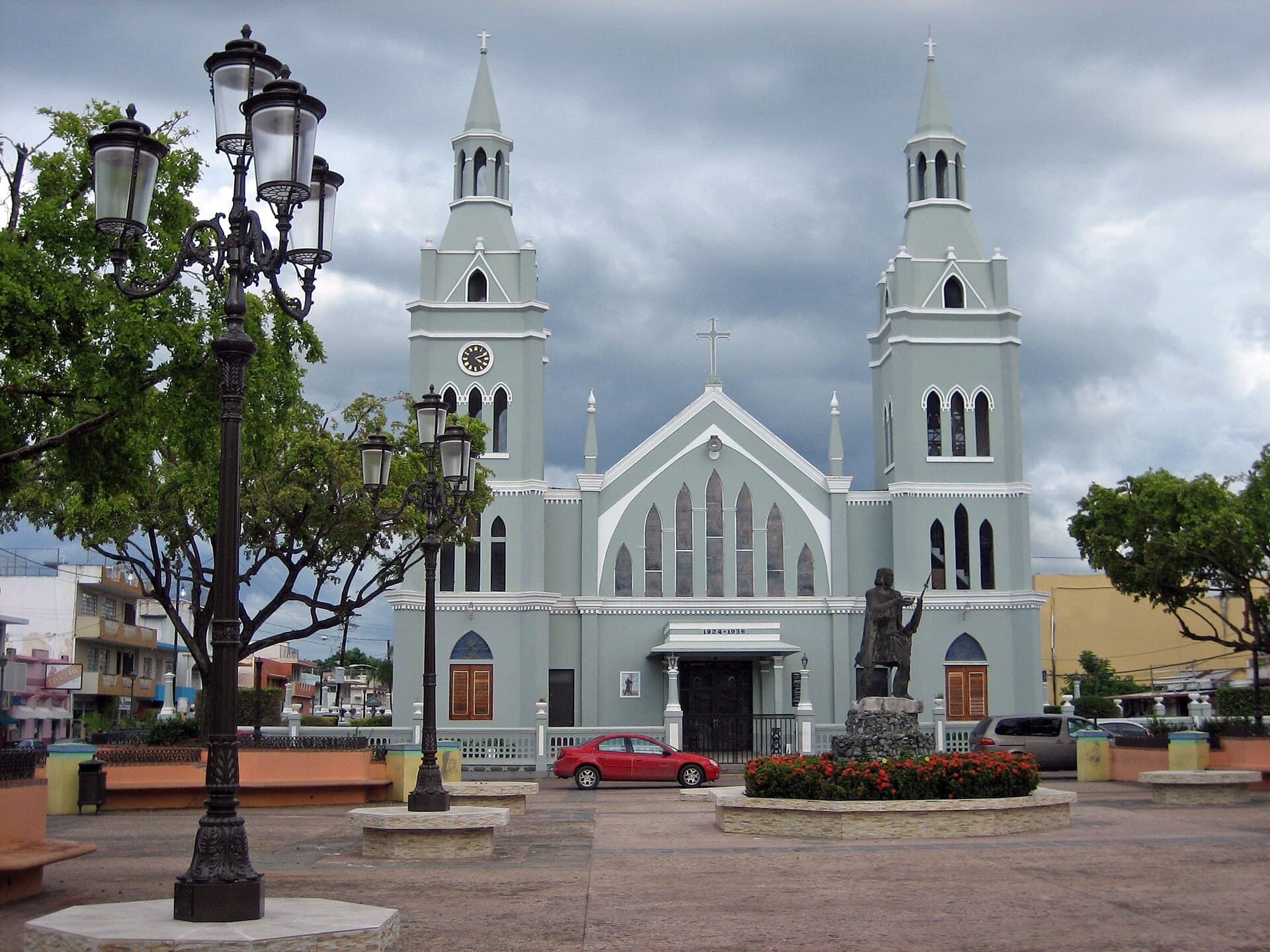
Villa de San Francisco
The town where Columbus landed in 1493 — west coast with calm beaches, one of Puerto Rico's oldest plazas, and the Festival del Descubrimiento every November.
Explore Aguada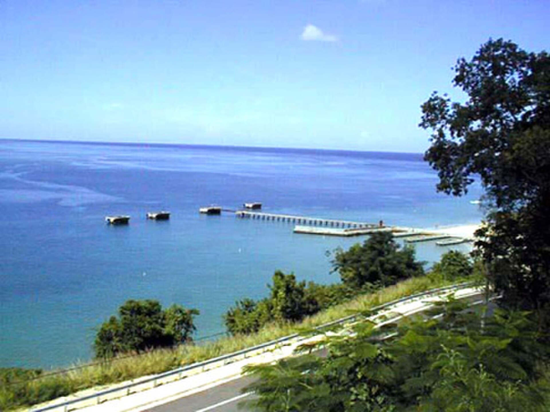
Villa del Ojo
The northwest's beach hub — Crash Boat, surf breaks, and a slow stretch of coast that locals call their own.
Explore Aguadilla
Oasis del Centro
Mountain town 30 minutes from San Juan. Caves, springs, and cool air at the metro area's edge.
Explore Aguas Buenas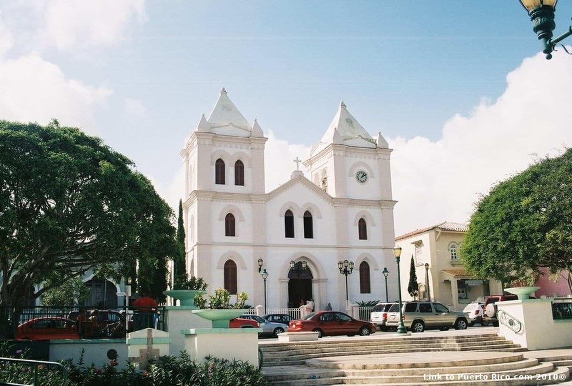
La Ciudad Fría
The island's coolest town by altitude — the Festival de las Flores every June, the San Cristóbal Canyon next door, and a climate that calls for a jacket.
Explore Aibonito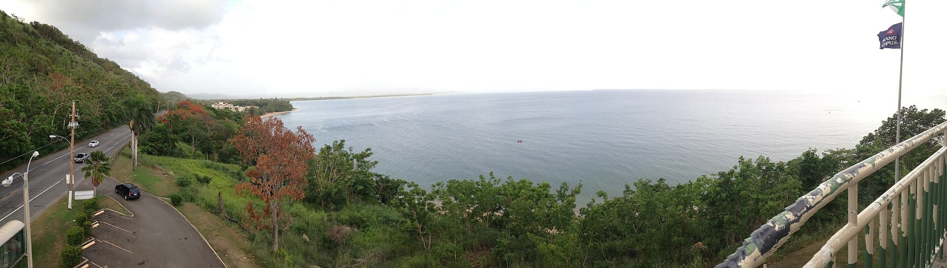
El Pueblo Donde los Dioses Mueren
The coastal town between Mayagüez and Rincón — Río Grande de Añasco, the Tres Hermanos coast, and a literary nickname from Edgardo Rodríguez Juliá's novel.
Explore Añasco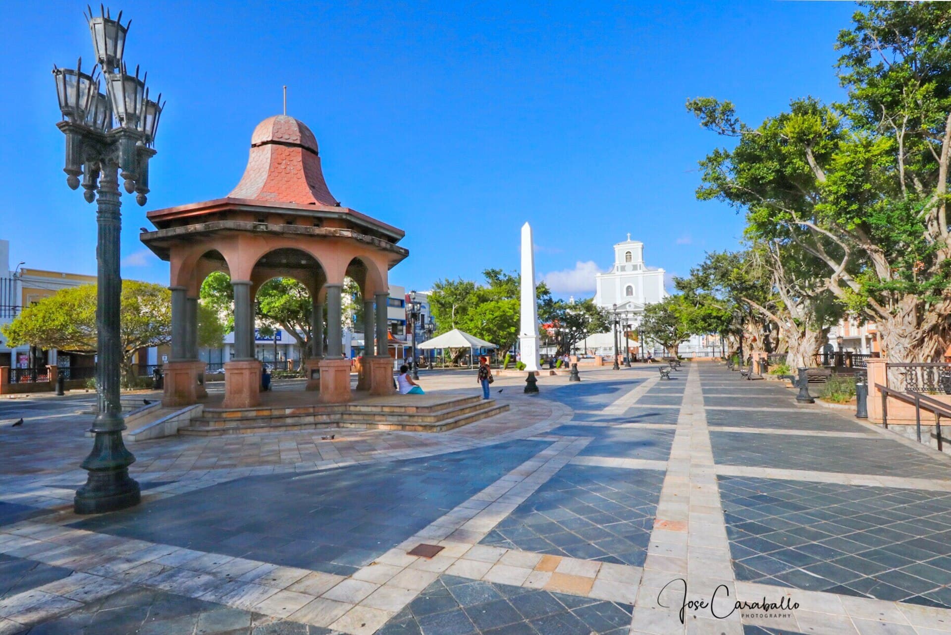
La Villa del Capitán Correa
The largest city on the north coast — the legacy of the Arecibo Observatory, the Cueva del Indio with Taíno petroglyphs, the Los Morrillos lighthouse, and the gateway to the Río Camuy cave system.
Explore Arecibo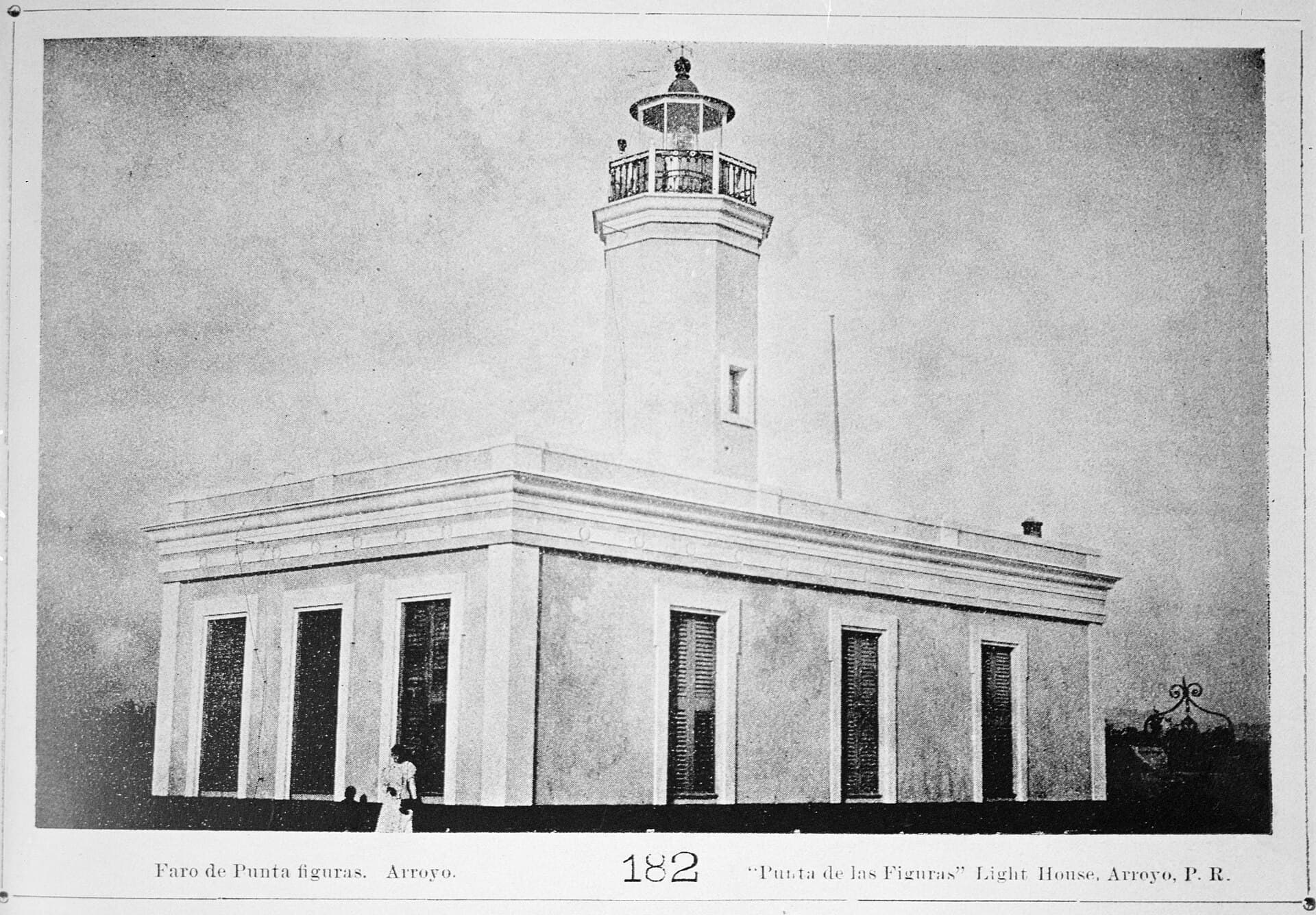
Pueblo de los Tiznaítos
The coastal town between Guayama and Patillas — the Tren del Sur (historic excursion), the Punta Guilarte coast, one of the south's most intimate plazas, and a railroad heritage few towns preserve.
Explore Arroyo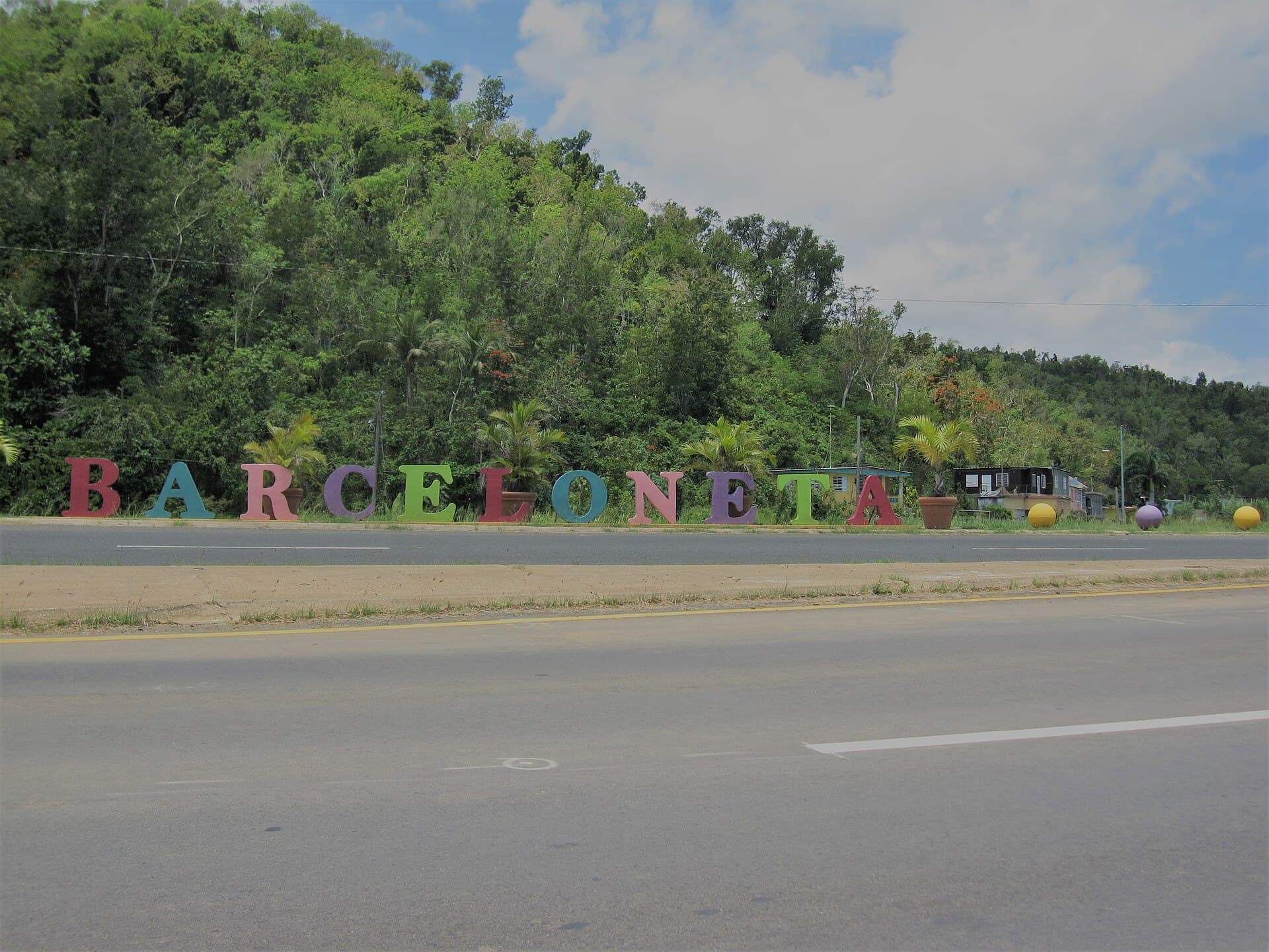
Ciudad Norteña
North coast of outlets, hidden beaches, and the Caribbean's largest pharmaceutical zone.
Explore Barceloneta
La Cuna de Próceres
The birthplace town of Luis Muñoz Rivera, deep in the central cordillera — the patriot's Casa Natal, San Cristóbal Canyon, artisans' market, and mountain views in every direction.
Explore Barranquitas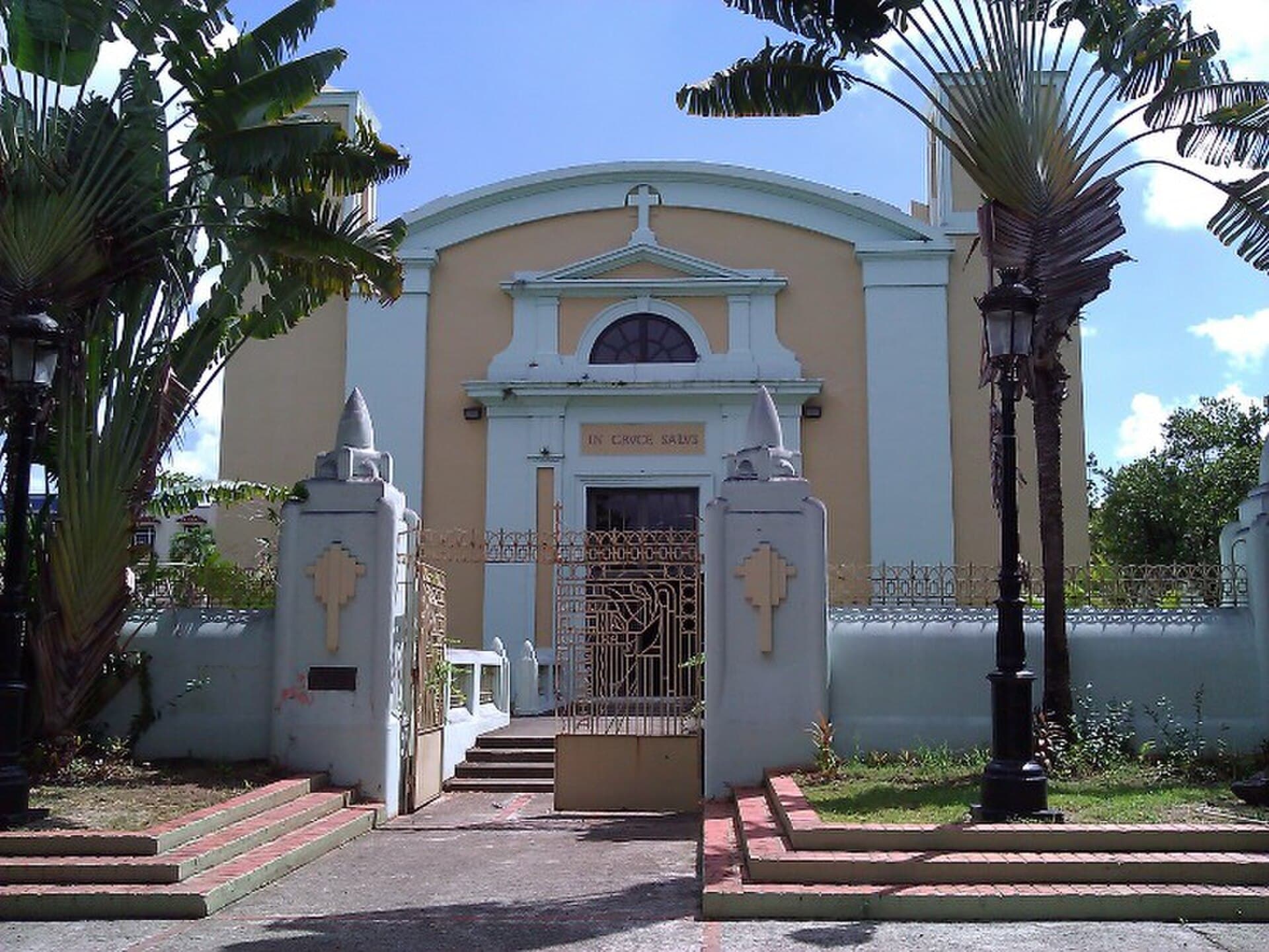
La Ciudad del Chicharrón
Puerto Rico's second-largest city — the Luis A. Ferré Science Park, the Rubén Rodríguez Coliseum, and a metropolitan identity of its own that goes beyond being a San Juan suburb.
Explore Bayamón
La Capital del Turismo Interno
The southwest corner — pink salt flats, the dramatic Faro Los Morrillos, Playa Sucia, and beach towns Puerto Ricans have been coming to for generations.
Explore Cabo Rojo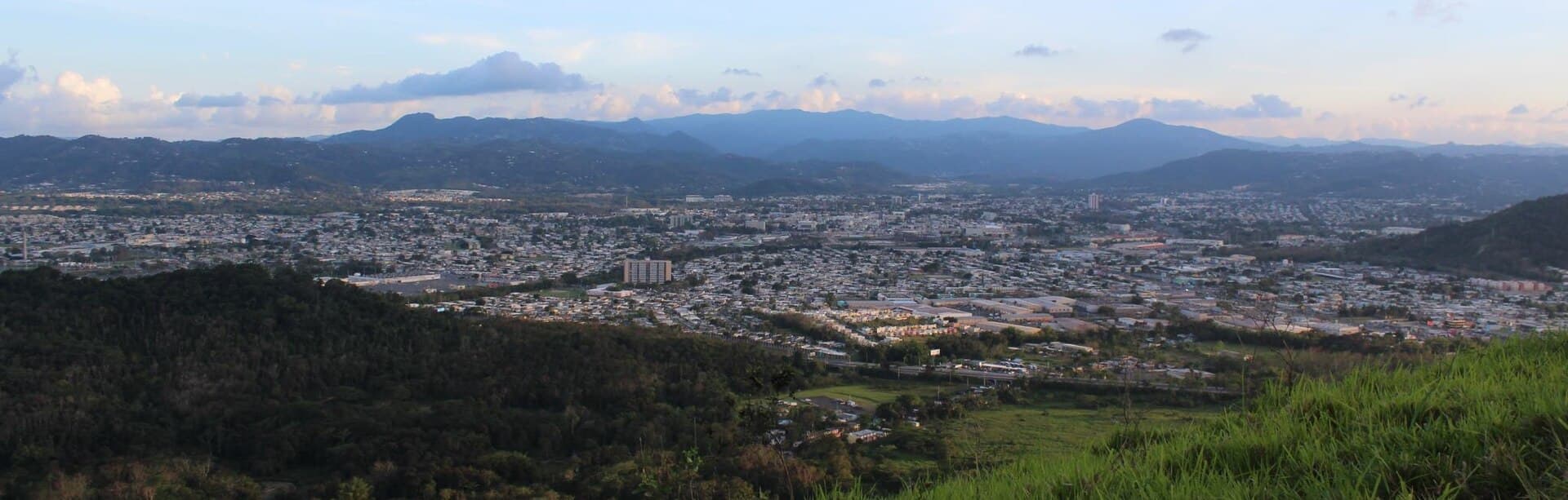
Ciudad Criolla
The cultural heart of central Puerto Rico — a strong sense of identity, a beautiful botanical garden, and one of the most thoughtful plazas on the island.
Explore Caguas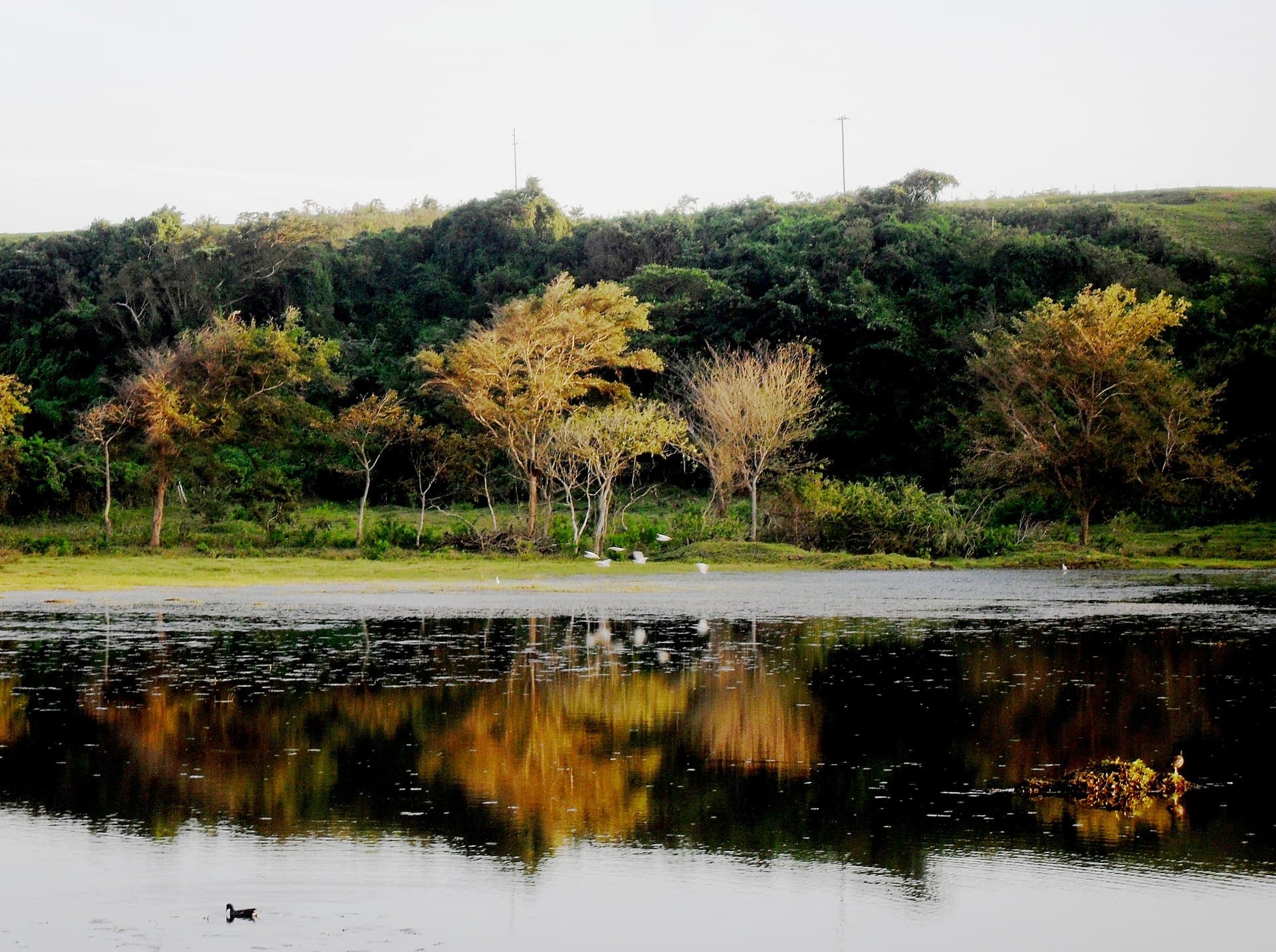
La Capital del Karst
The karst country town — Cavernas del Río Camuy, one of the largest cave systems in the Western Hemisphere — plus a quiet north coast next to Hatillo and Quebradillas.
Explore Camuy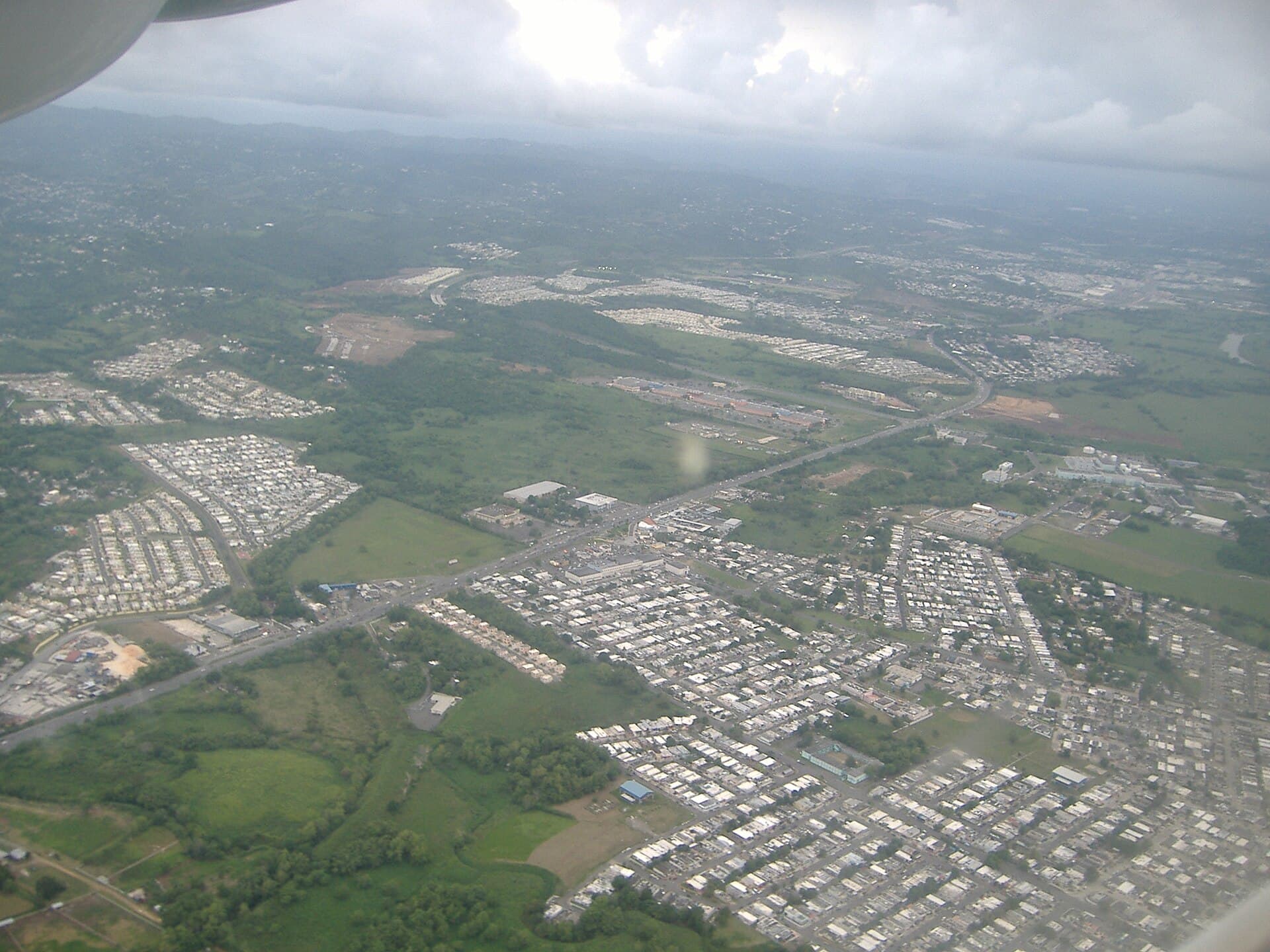
Ciudad del Coco
The town west of El Yunque — Hipódromo Camarero (PR's top horse racing track), entry to the rainforest from the west side, and the Chupacabras legend born here.
Explore Canóvanas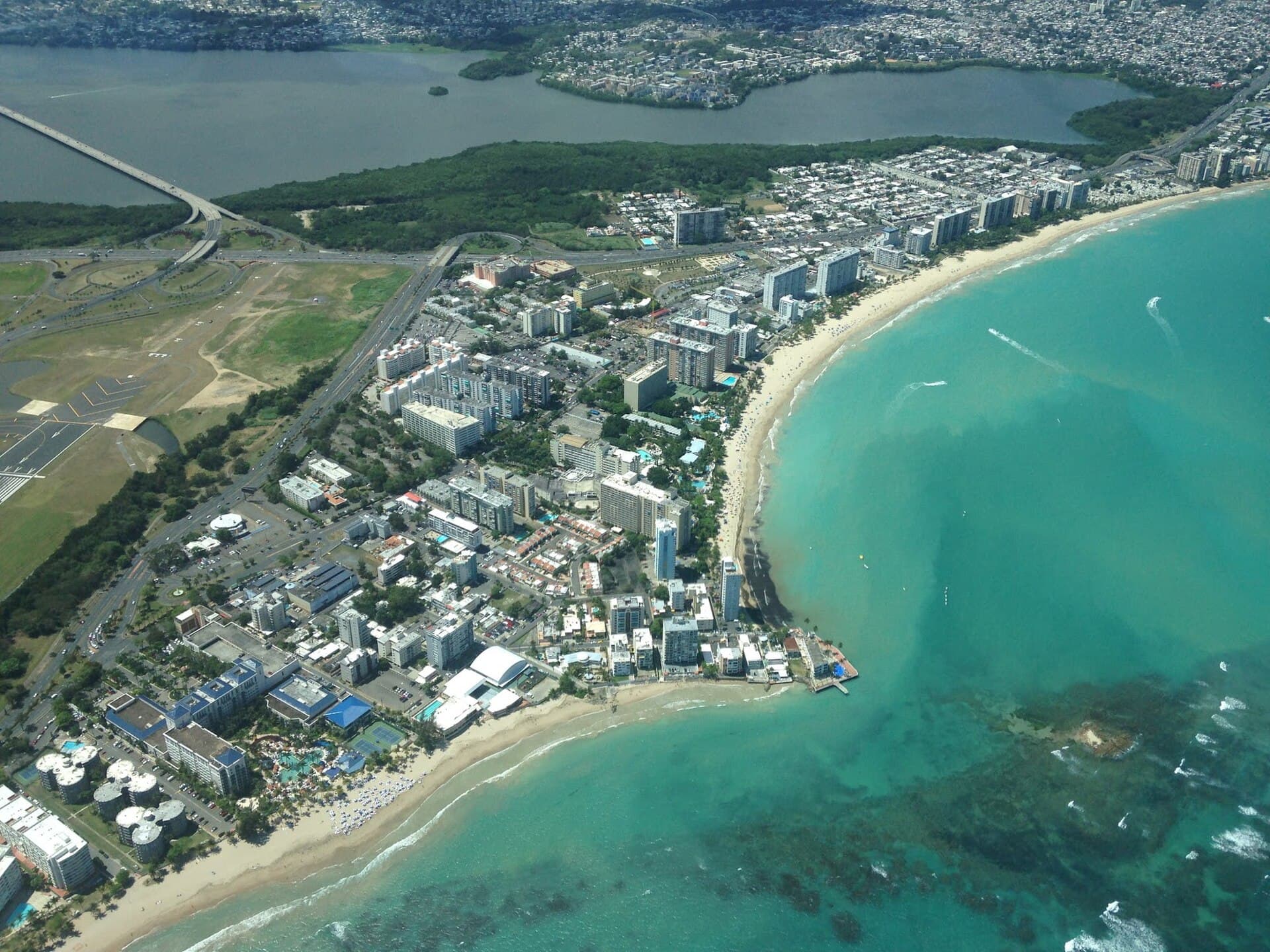
Tierra de Gigantes
Roberto Clemente's hometown — a metro pueblo with Isla Verde's beaches, the island's main airport, and a deep pride in its native son.
Explore Carolina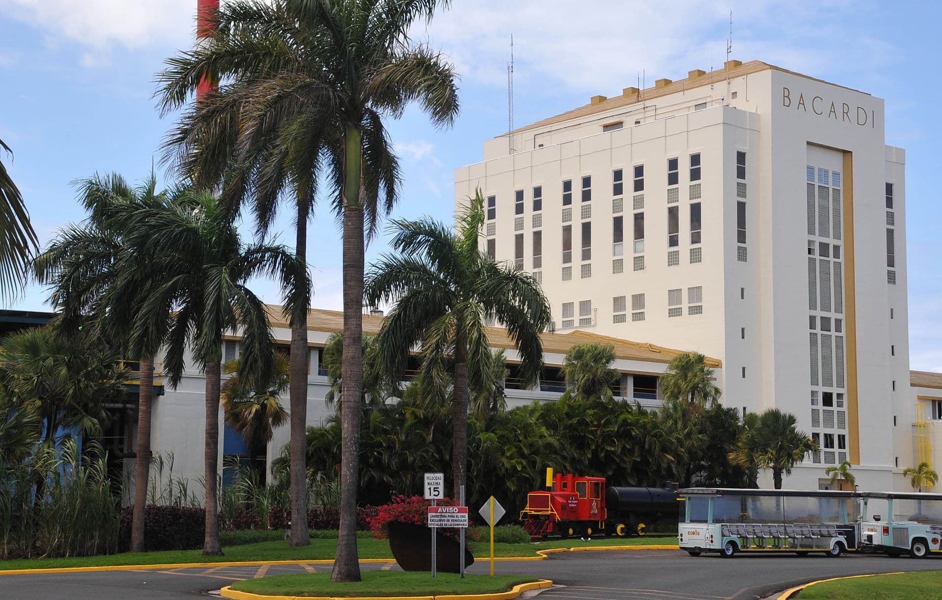
Pueblo de Bacardí
The town across San Juan Bay — Casa Bacardí (the world's largest rum distillery), the ferry to Old San Juan, and the capital's view from across the water.
Explore Cataño
La Ciudad del Torito
The central sierra town with cool mountain weather — the UPR Cayey campus, the Carite State Forest, neighboring Guavate with its famous lechoneras, and mountain views at every bend.
Explore Cayey
Ciudad del Bambú
Former naval base, today the gateway to Vieques and Culebra. Coast, mangroves, and a town in transformation.
Explore Ceiba
Ciudad de los Poetas
North-central coffee town. Birthplace of poet Juan Antonio Corretjer, highland coffee, and Río Grande mountains.
Explore Ciales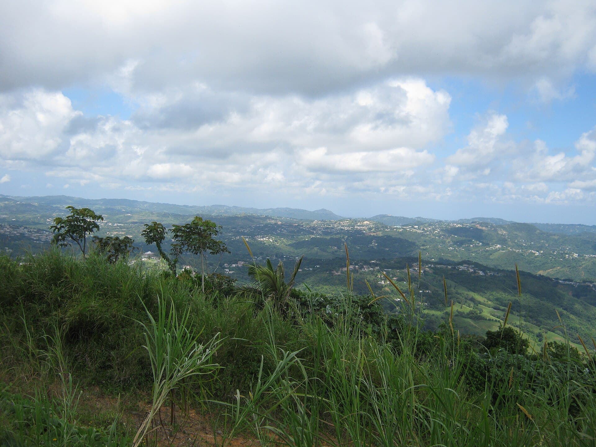
Pueblo de los Pollos
The town of Lago de Cidra and the poultry industry — cool central mountain weather, the Festival del Pollo every November, and one of the most beautiful reservoirs in central Puerto Rico.
Explore Cidra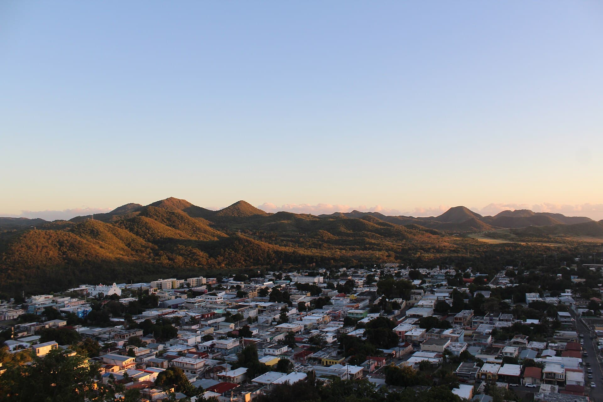
La Villa Añeja
One of Puerto Rico's oldest cities (1579) — the Baños de Coamo (historic hot springs), Iglesia San Blas, and the San Blas Half Marathon that moves the island every February.
Explore Coamo
El Quitapesares
Mountain town above the Río de la Plata. Doña Juana waterfall, historic tobacco, and the place where Muñoz Rivera came for peace.
Explore Comerío
Pueblo del Plátano
Puerto Rico's plantain capital. North-central agricultural valley, green mountains, and the island's best mofongo raw material.
Explore Corozal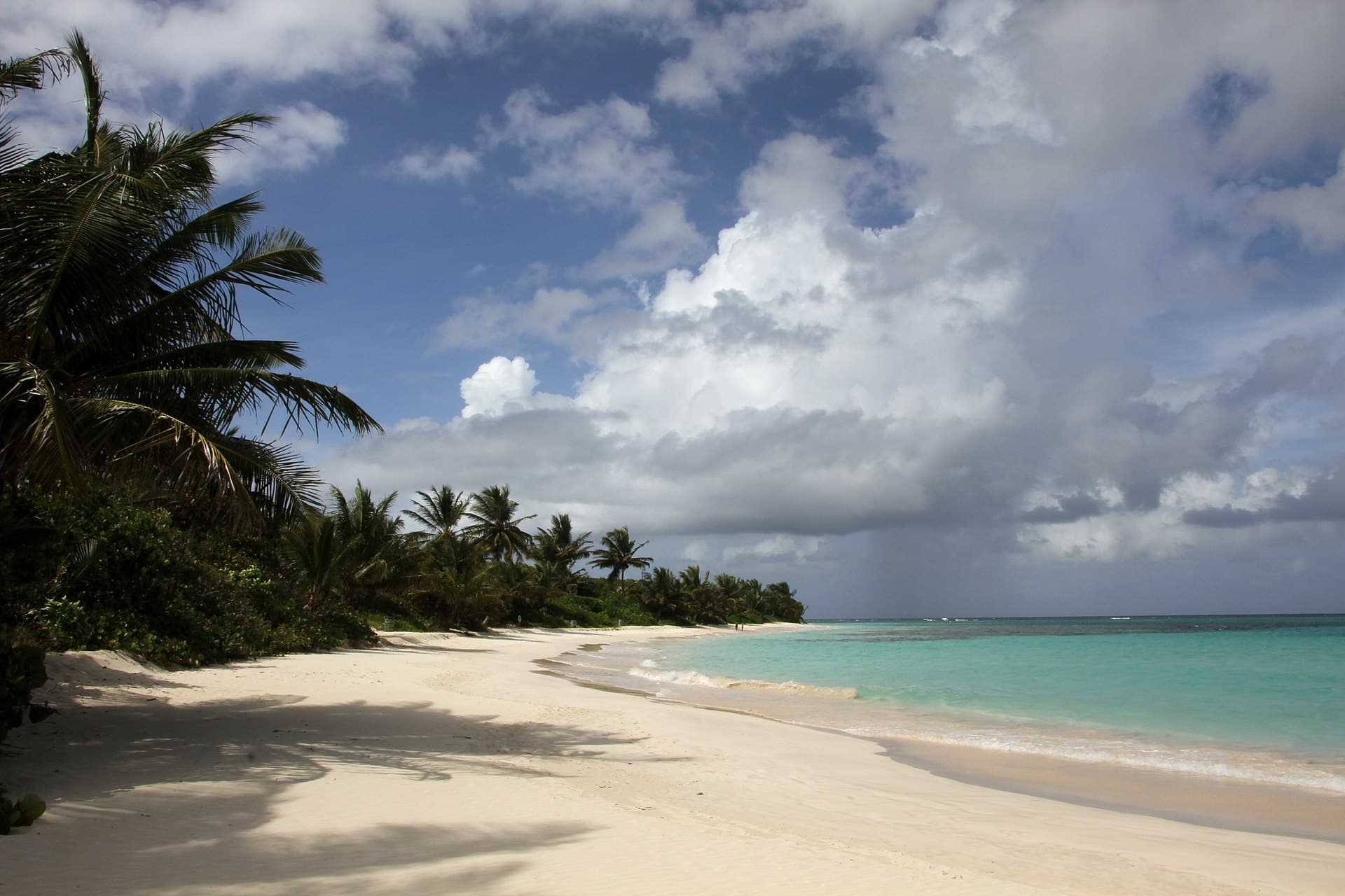
La Isla Chiquita
The smaller, more remote sister island to Vieques — Playa Flamenco (one of the world's most famous beaches), living reefs, and a town of fewer than 2,000 people.
Explore Culebra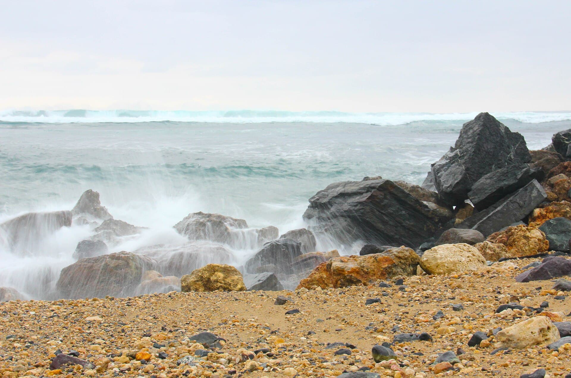
La Ciudad de las Sardinas Doradas
The north-coast resort area — beaches accessible from metro San Juan, the old Rockefeller-era hotels reborn as modern resorts, and a coastal town with its own identity despite its proximity to San Juan.
Explore Dorado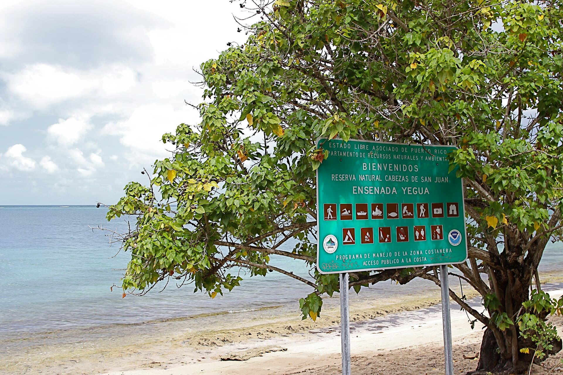
La Metrópolis del Sol Naciente
The east coast gateway — a bioluminescent bay, ferries to Vieques and Culebra, El Yunque next door, and the Las Cabezas Natural Reserve.
Explore Fajardo
Ciudad de la Piña
Puerto Rico's youngest town, founded in 1971. Pineapple capital and gateway to karst country.
Explore Florida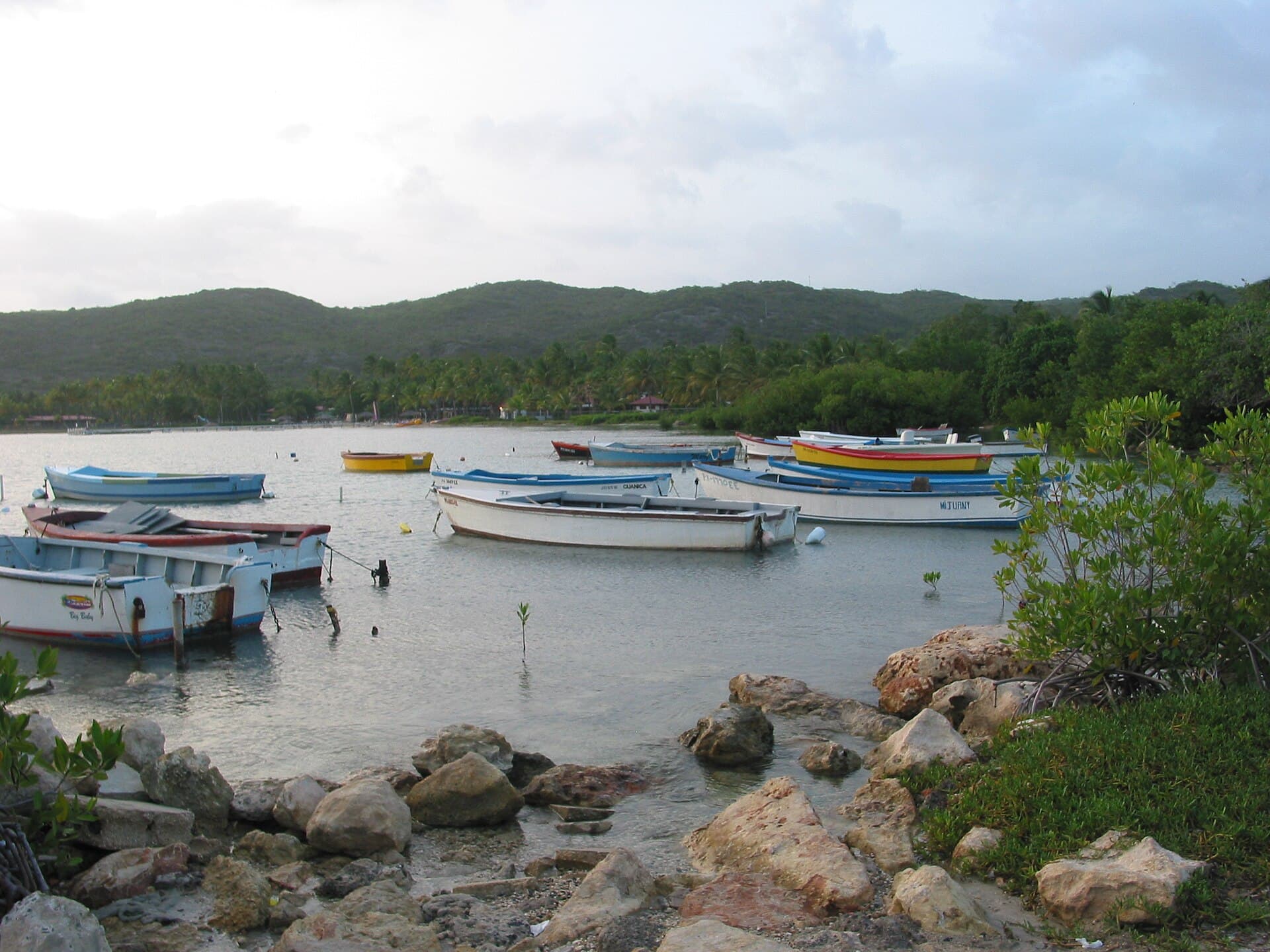
La Villa de los Bahías
Where the United States invaded in 1898. Today: UNESCO dry forest, Gilligan's Island, and the south's best undiscovered coast.
Explore Guánica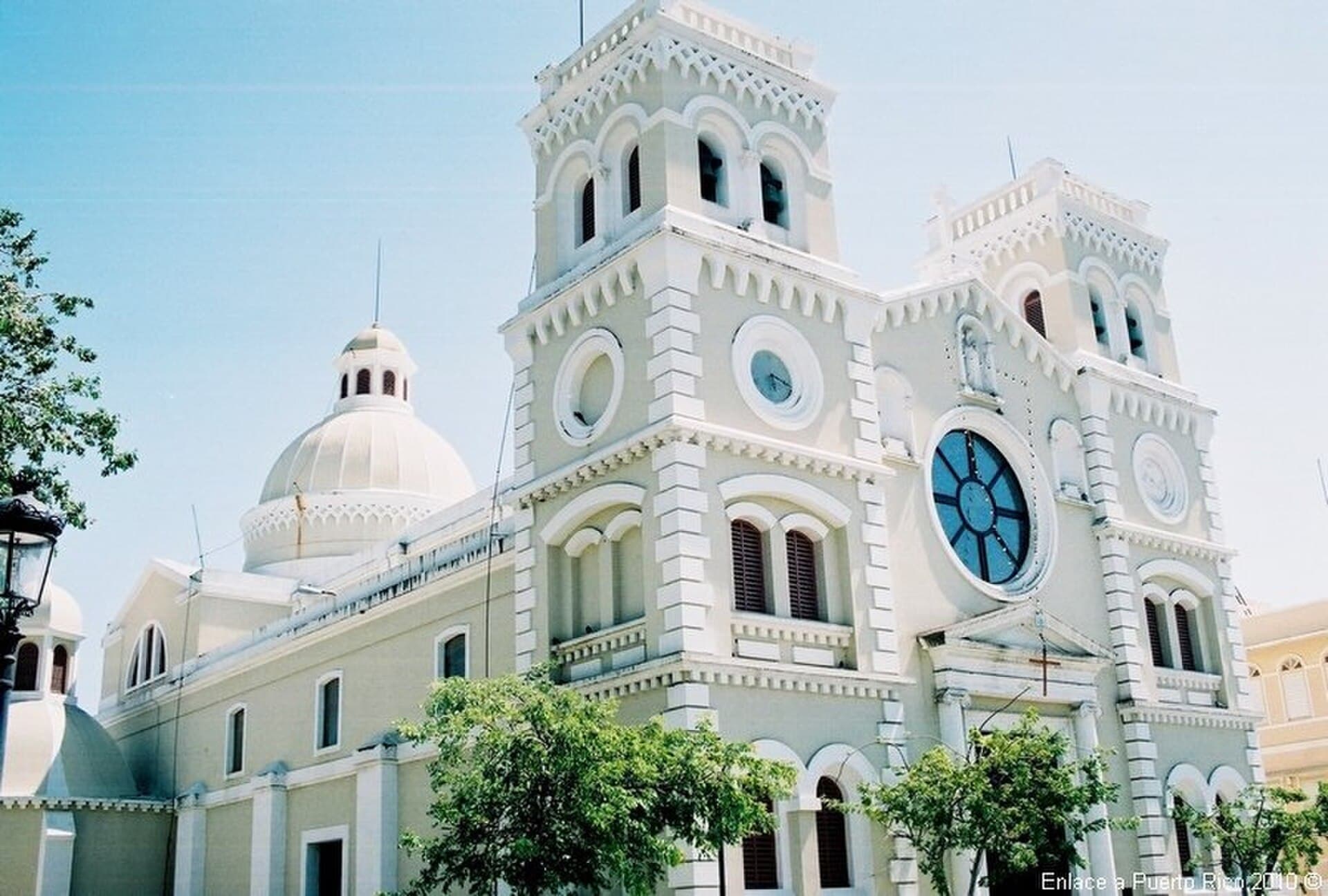
Ciudad Bruja
The south's "Witch City" — Casa Cautiño's 19th-century architecture, the Centro de Bellas Artes, one of the south's best-kept historic plazas, and the coast right there at Pozuelo.
Explore Guayama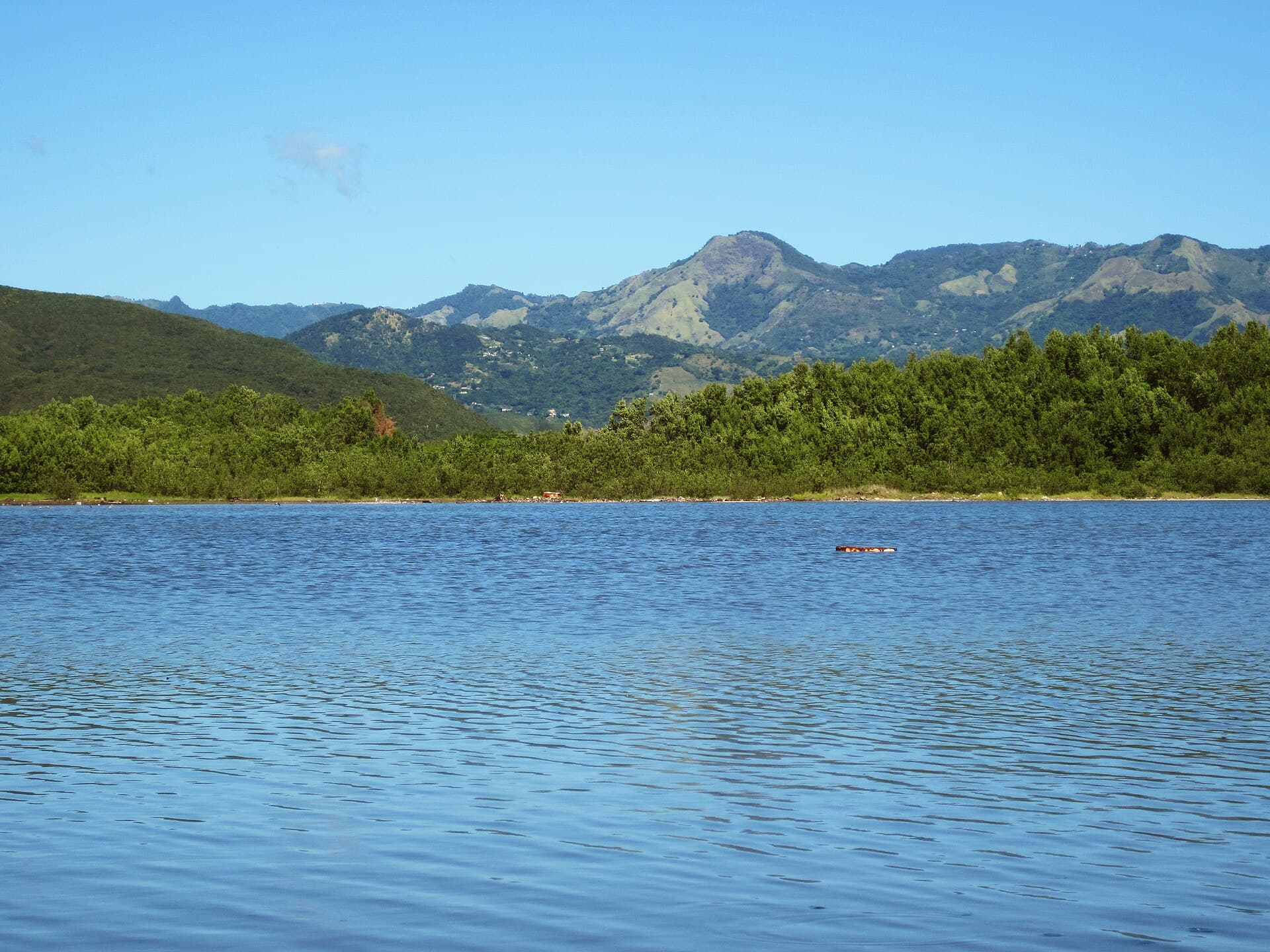
Pueblo de la Caridad
South coast between Yauco and Peñuelas. Protected bay, industrial ruins, and a town that rose after the earthquakes.
Explore Guayanilla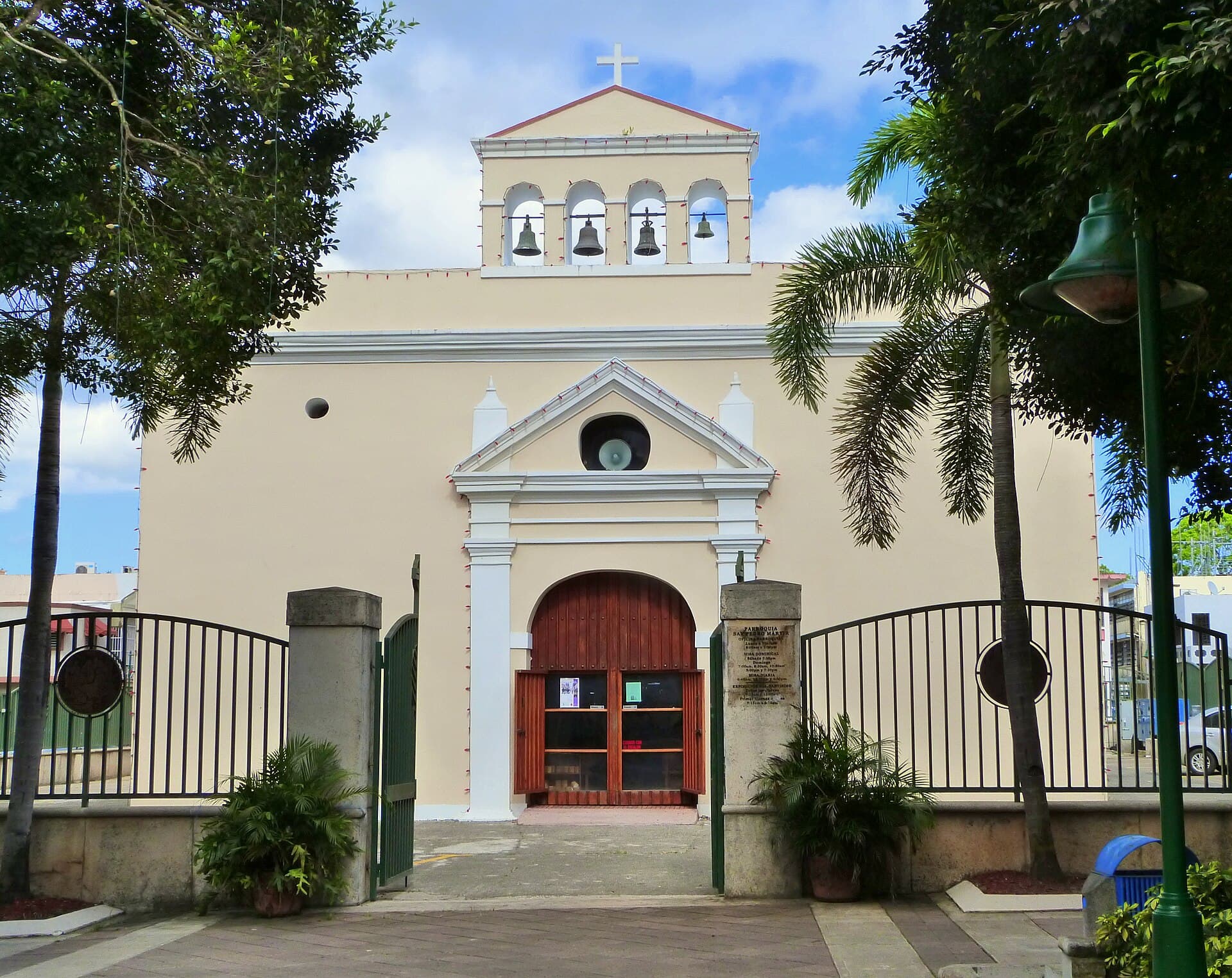
Ciudad Señorial
Puerto Rico's first Spanish settlement (1508) — Caparra Ruins, the Puerto Rico Coliseum (the country's largest arena), Fort Buchanan, and one of the metropolitan area's strongest economies.
Explore Guaynabo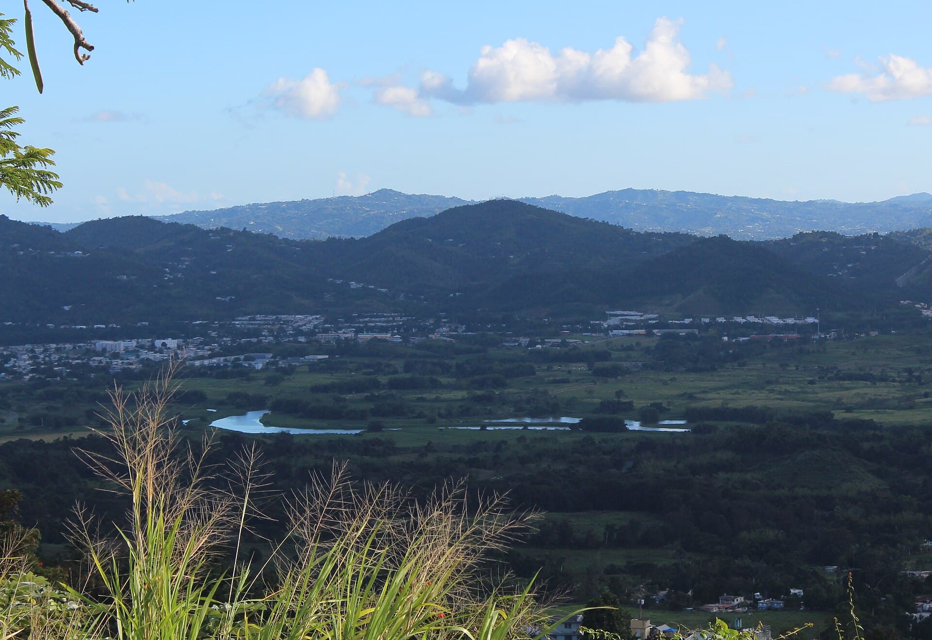
Ciudad de las Escaleras
University town in the eastern valley. Steep streets, famous staircases, and a campus that keeps the economy young.
Explore Gurabo
Capital de la Industria Lechera
Puerto Rico's biggest dairy town — cows and farms across the hills, a quiet north coast, and the iconic Festival de las Máscaras every December 28.
Explore Hatillo
Ciudad del Milagro
Small town home to Puerto Rico's most visited basilica — five centuries of Marian devotion.
Explore Hormigueros
La Perla del Oriente
The east coast's anchor city — the Humacao Nature Reserve with its lagoons and mangroves, the Punta Santiago beaches, and the main entry into Puerto Rico's southeast.
Explore Humacao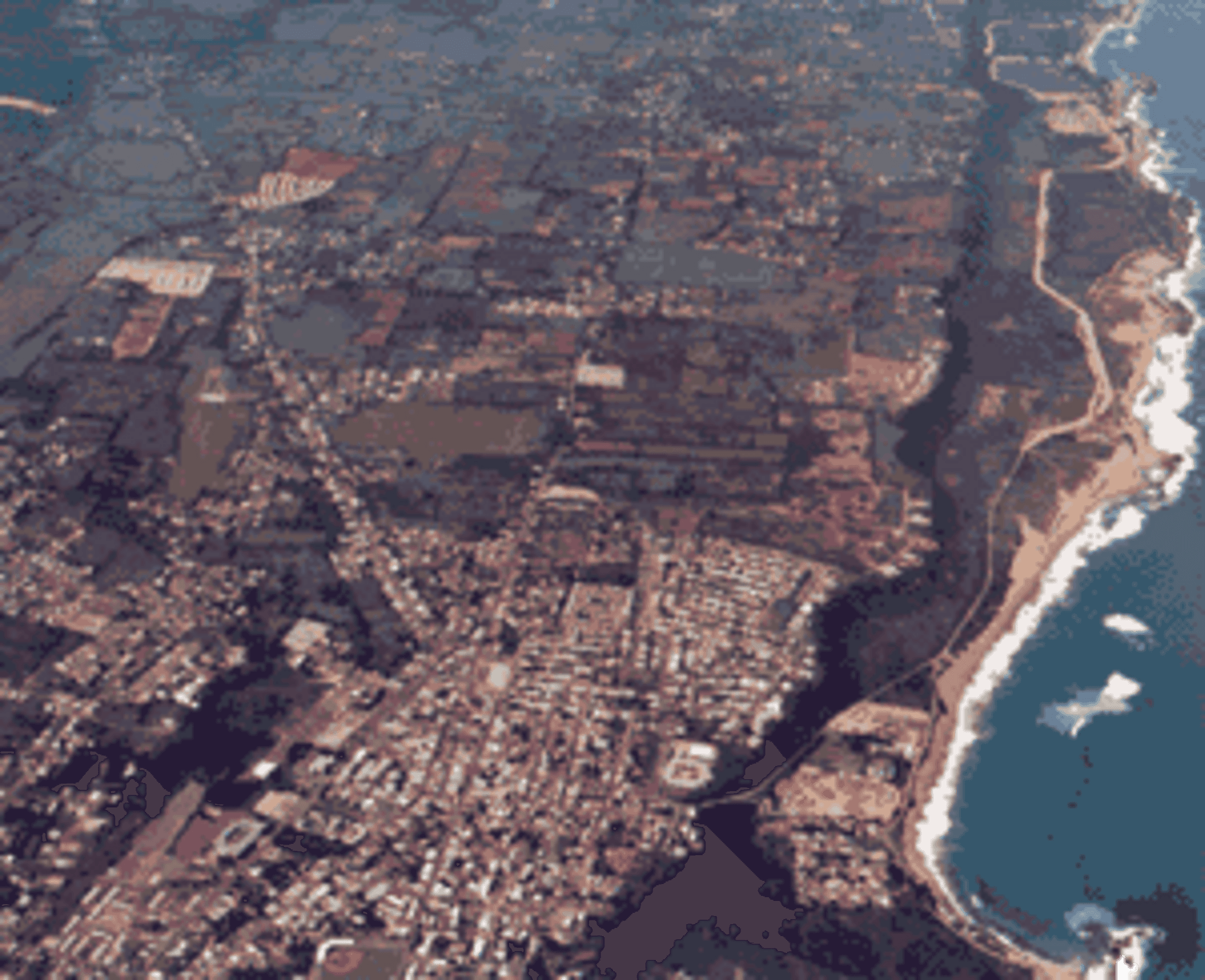
Jardín del Noroeste
The northwest coast with dunes, surf at Playa Jobos, cliffs where the waves shoot water through a hole, and the slow rhythm of the countryside.
Explore Isabela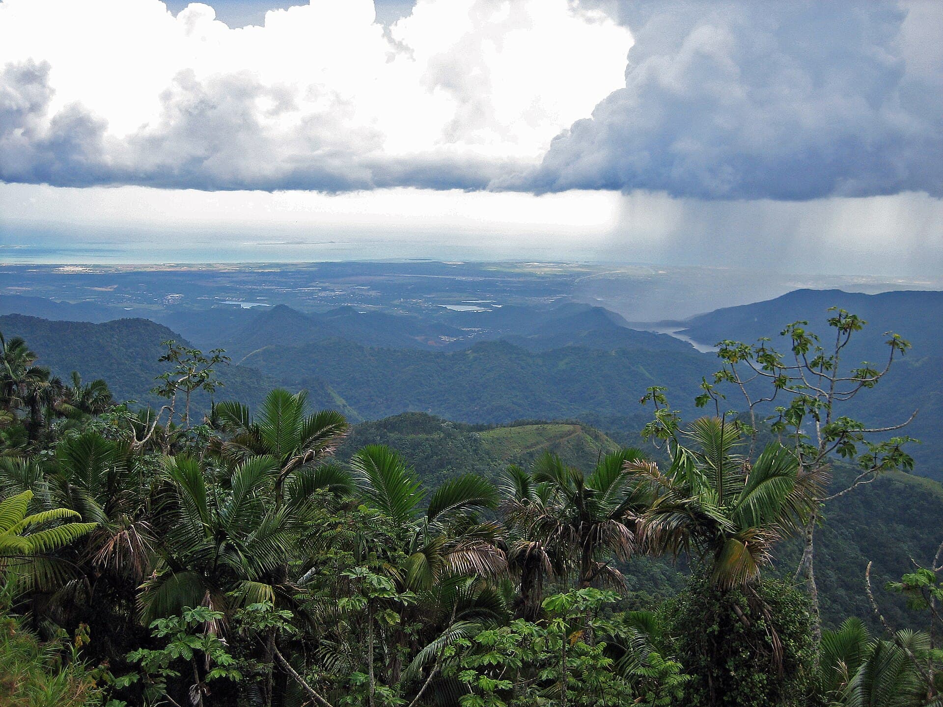
Capital Indígena de Puerto Rico
The cordillera's highest, most Taíno town — Festival Indígena, petroglyphs, coffee farms, and Cerro de Punta, Puerto Rico's tallest peak, right alongside.
Explore Jayuya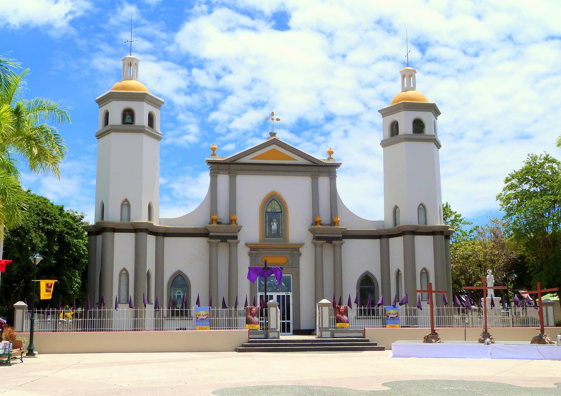
Pueblo de los Reyes
Puerto Rico's Three Kings capital. Every January 6 the entire town transforms into a national celebration.
Explore Juana Díaz
Valle Pintoresco
Eastern agricultural town transformed into one of the Caribbean's most important pharmaceutical hubs.
Explore Juncos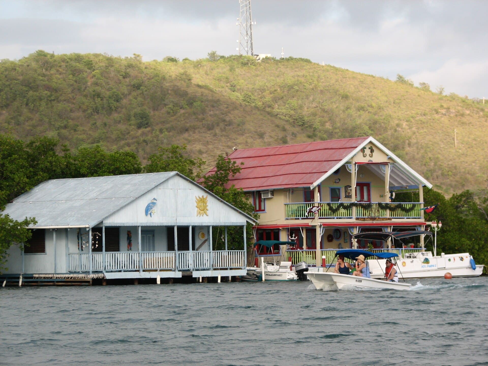
El Valle Encantado
The southwest coastal pueblo home to La Parguera — a fishing village with a historic bioluminescent bay, mangrove cays, and the liveliest "Sunday in La Parguera" scene in the south.
Explore Lajas
La Tierra del Grito
The town of the Grito de Lares — where the Puerto Rican independence movement was born in 1868 — and home to the island's most famous ice-cream shop, with flavors you won't find anywhere else.
Explore Lares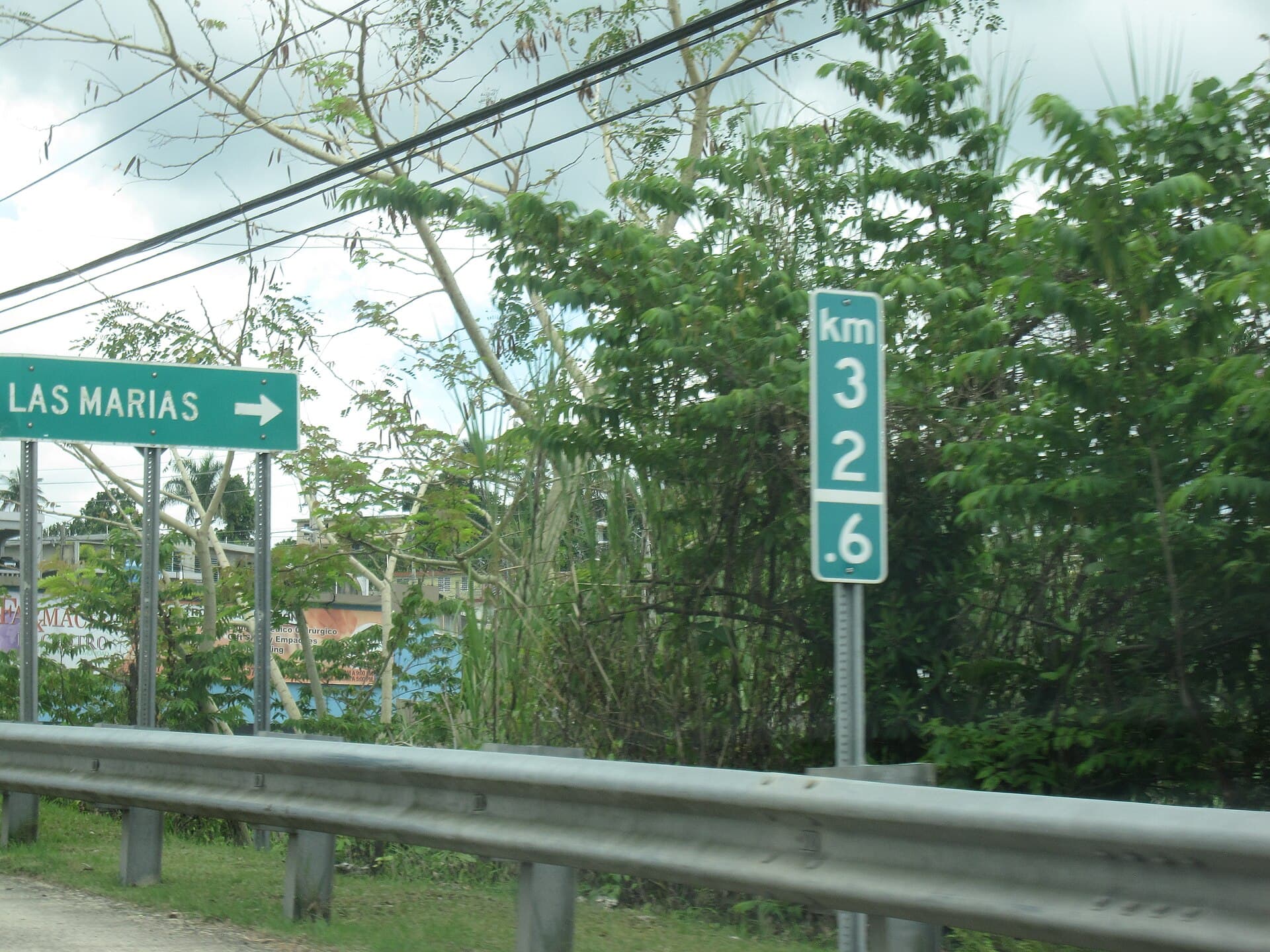
Pueblo de la China
The cordillera town where "china" — Puerto Rican sweet orange — is grown, with mountain farms, small rivers, and one of the most rural corners of the island.
Explore Las Marías
Ciudad de los Artesanos
Home of Puerto Rican artisanship. The town where the hand-carved Three Kings that decorate homes across the island are born.
Explore Las Piedras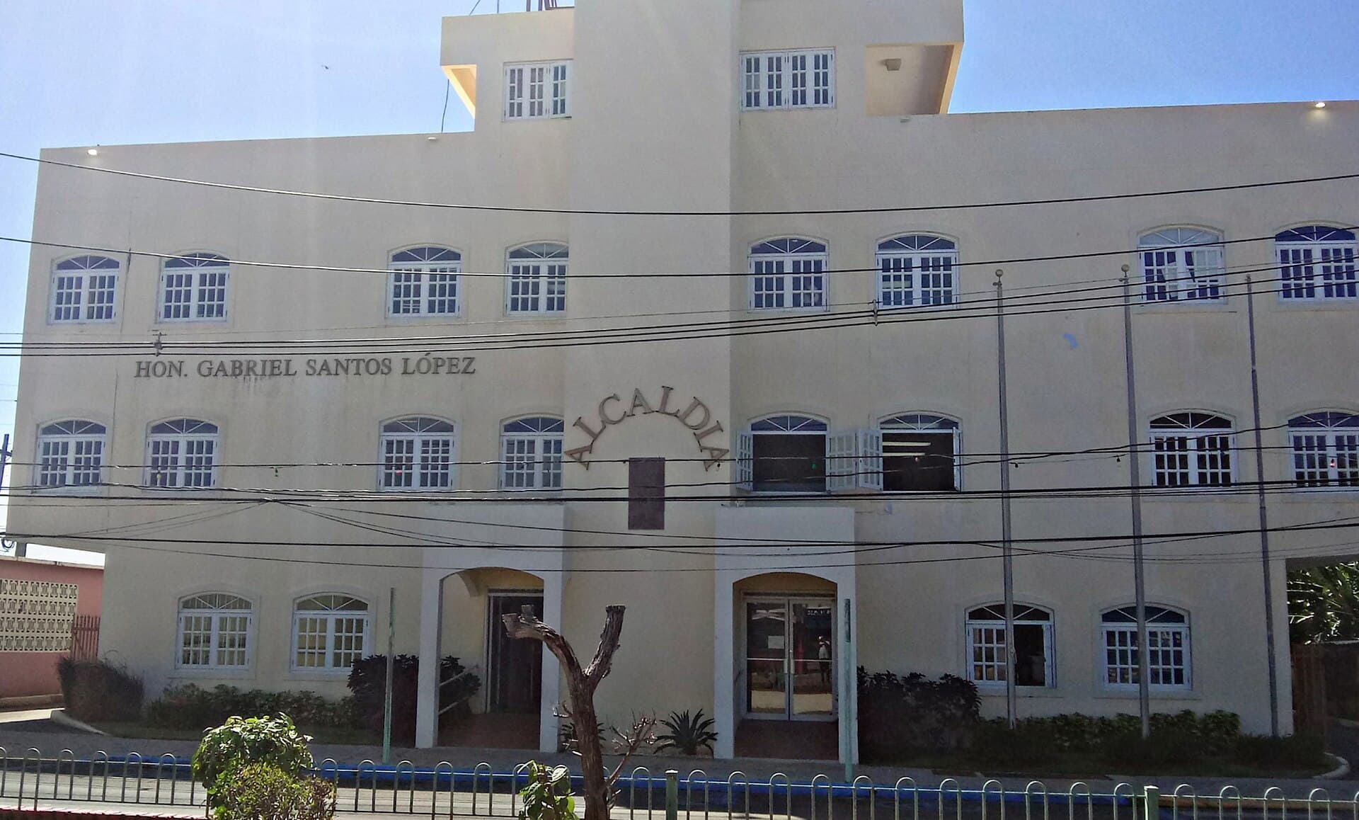
Capital de la Tradición
The deepest home of Afro-Puerto Rican culture — bomba and plena, vejigante masks, Fiestas de Santiago Apóstol, and the Piñones street-food coast.
Explore Loíza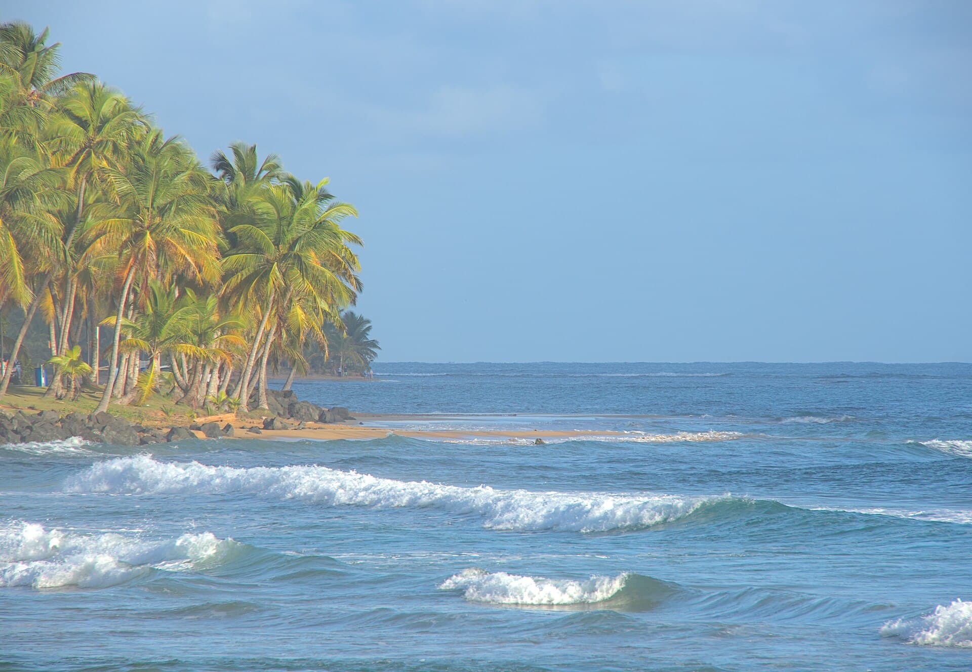
La Capital del Sol
A long palm-lined beach, the Kioskos del 14 — a street-food corridor famous across the island — and El Yunque right next door.
Explore Luquillo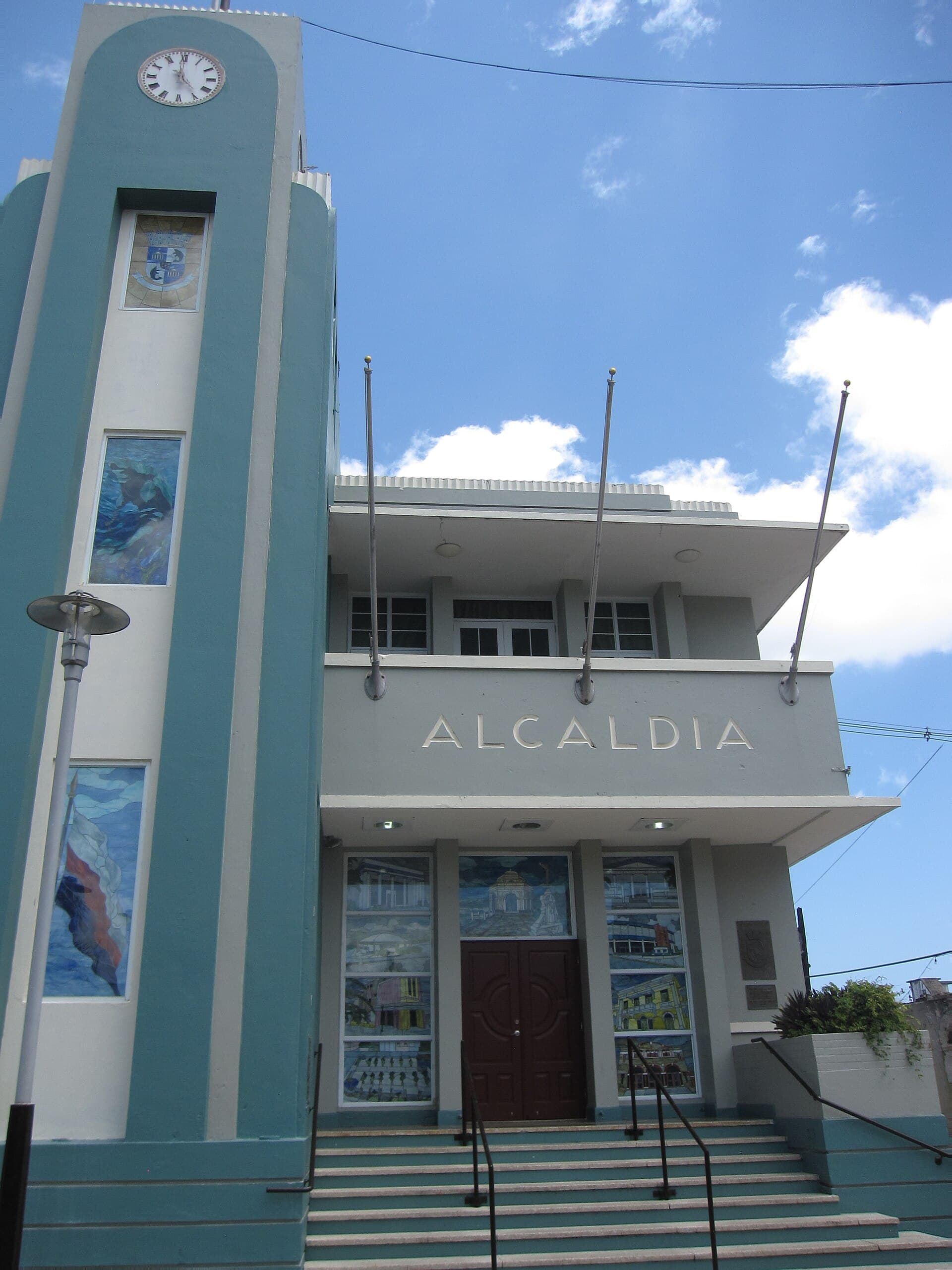
La Atenas de Puerto Rico
The north coast's center — the Reserva Natural Hacienda La Esperanza with its old sugar hacienda, the karst of Río Abajo, and the pharmaceutical corridor that anchors much of the north's economy.
Explore Manatí
Pueblo del Café
Puerto Rico's coffee capital. Mountains at 2,500 feet, Hacienda Juanita, and the country's oldest coffee festival.
Explore Maricao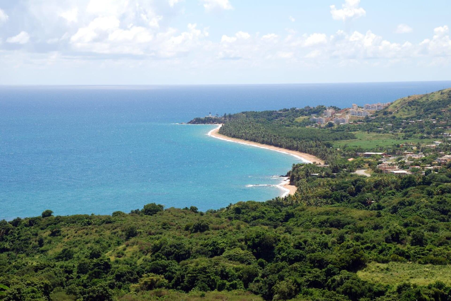
El Mirador del Caribe
Puerto Rico's southeast corner — the Punta Tuna lighthouse, hidden beaches under limestone cliffs, and one of the corners furthest from mass tourism.
Explore Maunabo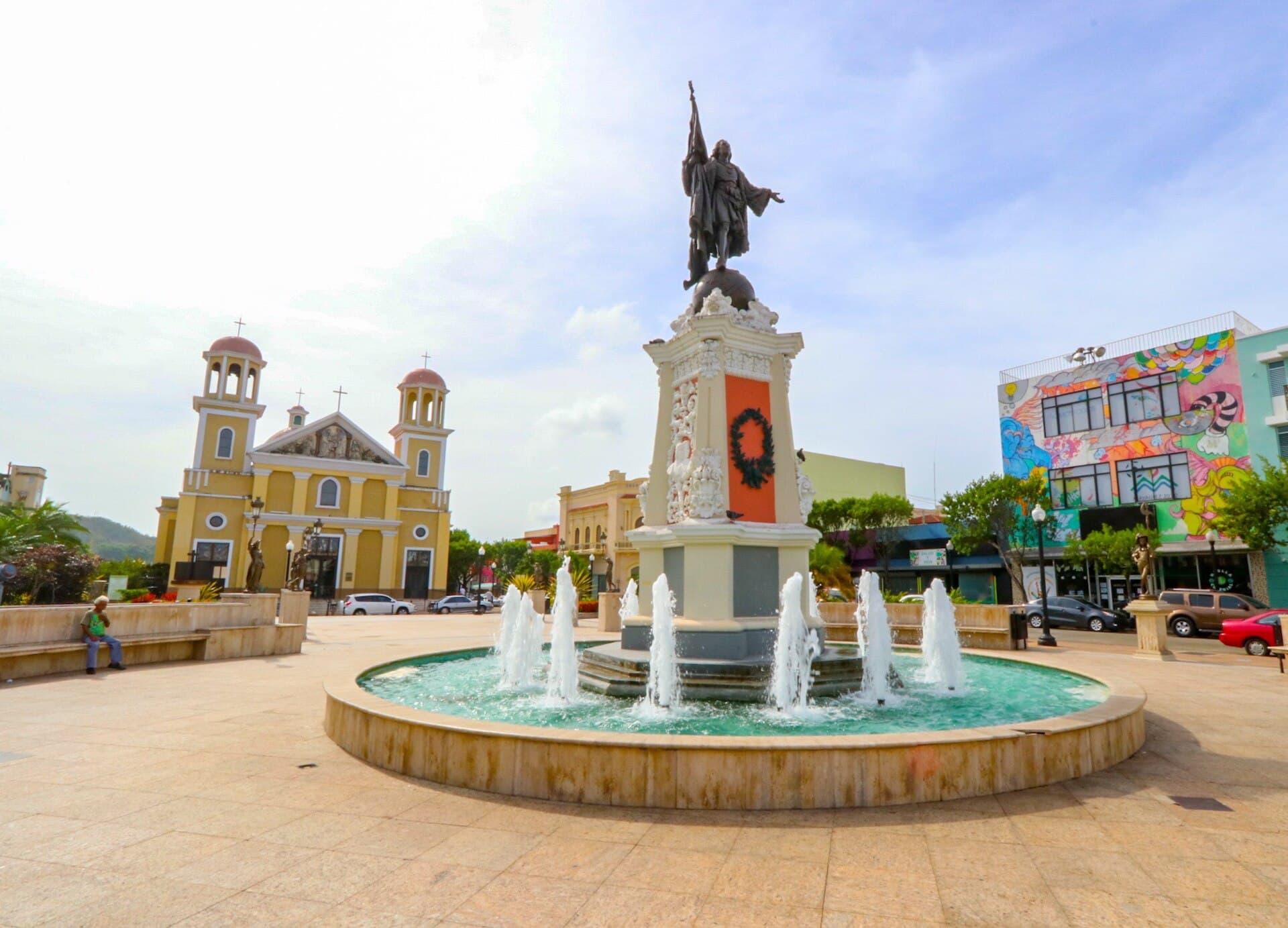
La Sultana del Oeste
The west coast's anchor city — a university town with a zoo, a historic theater, and a tradition of brazo gitano you'll keep finding in fridges across the island.
Explore Mayagüez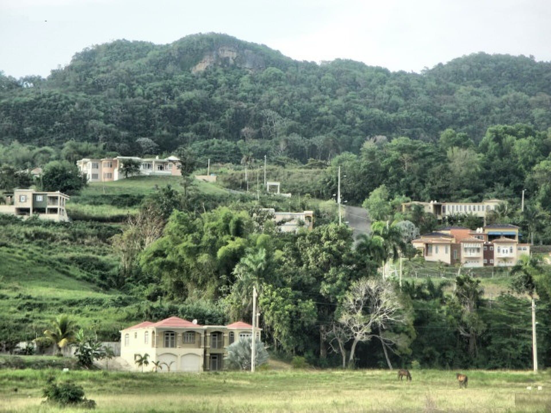
El Pueblo del Mundillo
A quiet town in the northwest where families have preserved the art of mundillo — handmade bobbin lace — for generations.
Explore Moca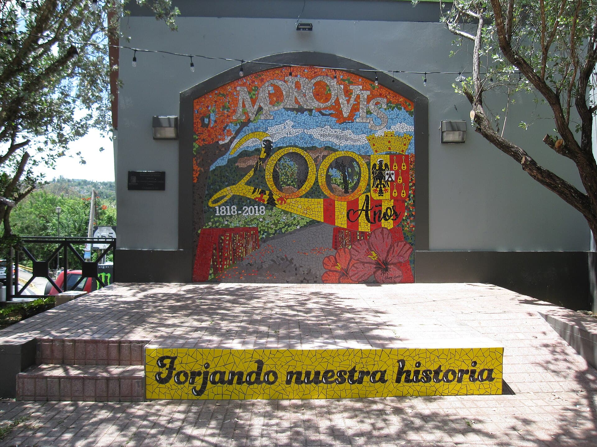
Pueblo Olvidado por Dios
Isolated mountain town in the center. Famous for its affectionate nickname, artisan cheeses, and scenic roads.
Explore Morovis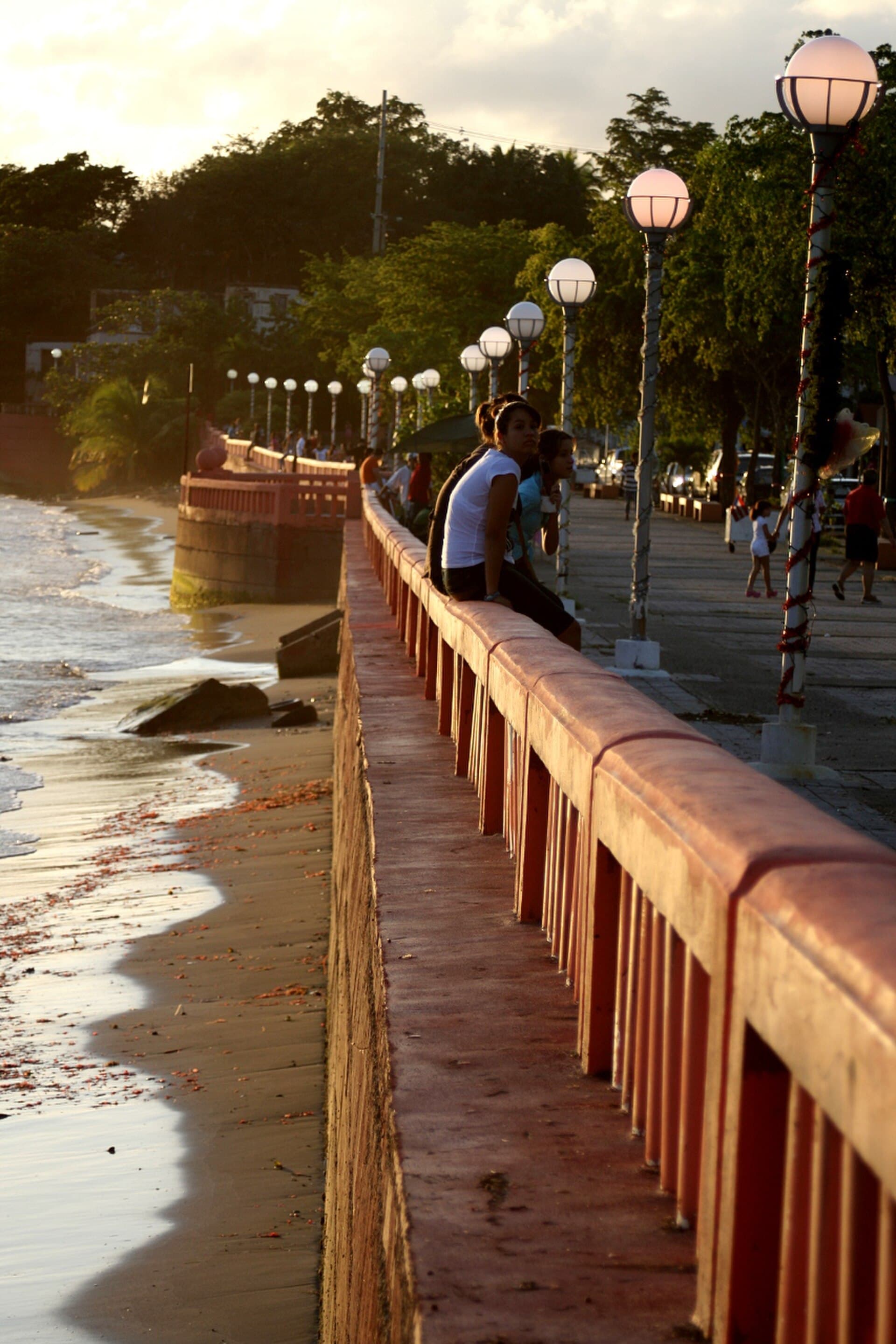
Los Enchumbaos
The coastal town between Humacao and Fajardo — Hucares, the fishing village with malecón and fresh seafood, Cerro El Yunque on the horizon, and one of the east coast's most authentic stretches.
Explore Naguabo
El Pueblo del Cordillera
Mountain town 30 minutes from Bayamón. Plantain, coffee, cordillera landscapes, and a town center built on a slope.
Explore Naranjito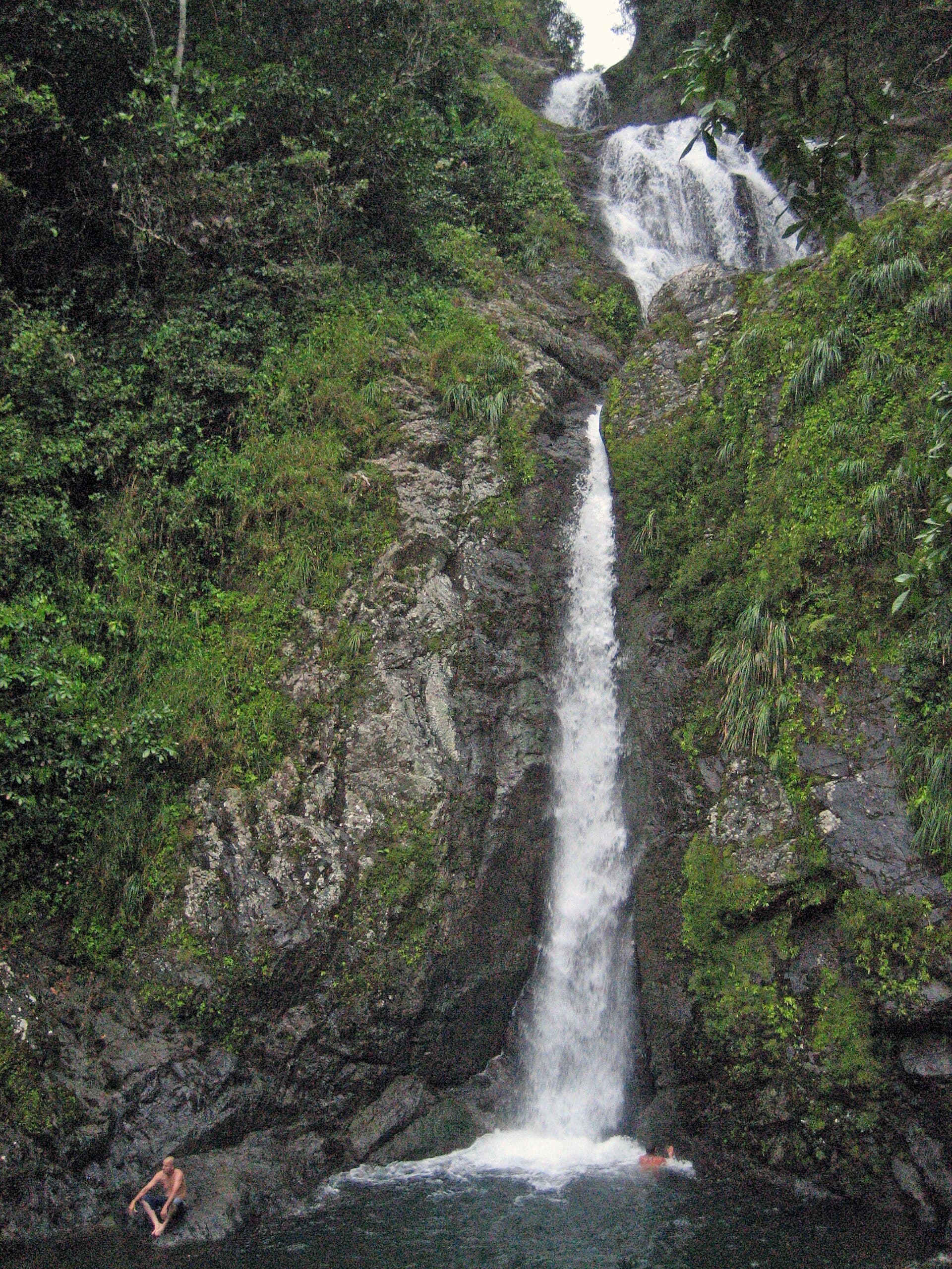
Corazón de Puerto Rico
The island's geographic center — a mountain town with Toro Verde (one of the world's longest ziplines), Doña Juana peak, high-altitude coffee, and the feeling of being far from everywhere.
Explore Orocovis
La Esmeralda del Sur
The southeast town where the cordillera drops into the Caribbean — Charco Azul, Lago Patillas, cliff coast, and the feeling of being in the island's least-visited corner.
Explore Patillas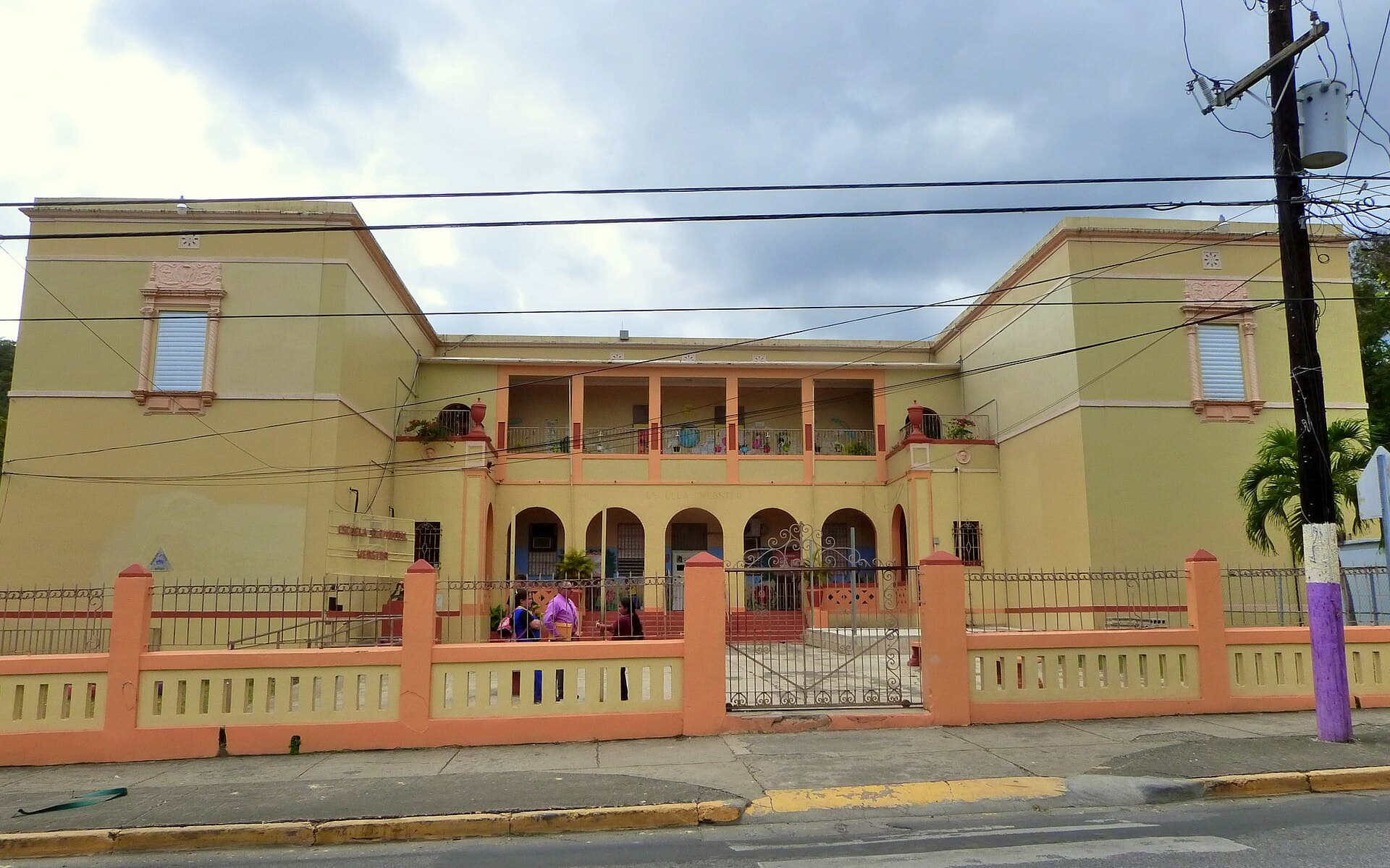
Valle de los Flamboyanes
South coast between Guayanilla and Ponce. Tallaboa Bay, flame trees in bloom, and the country's sweetest mandarin oranges.
Explore Peñuelas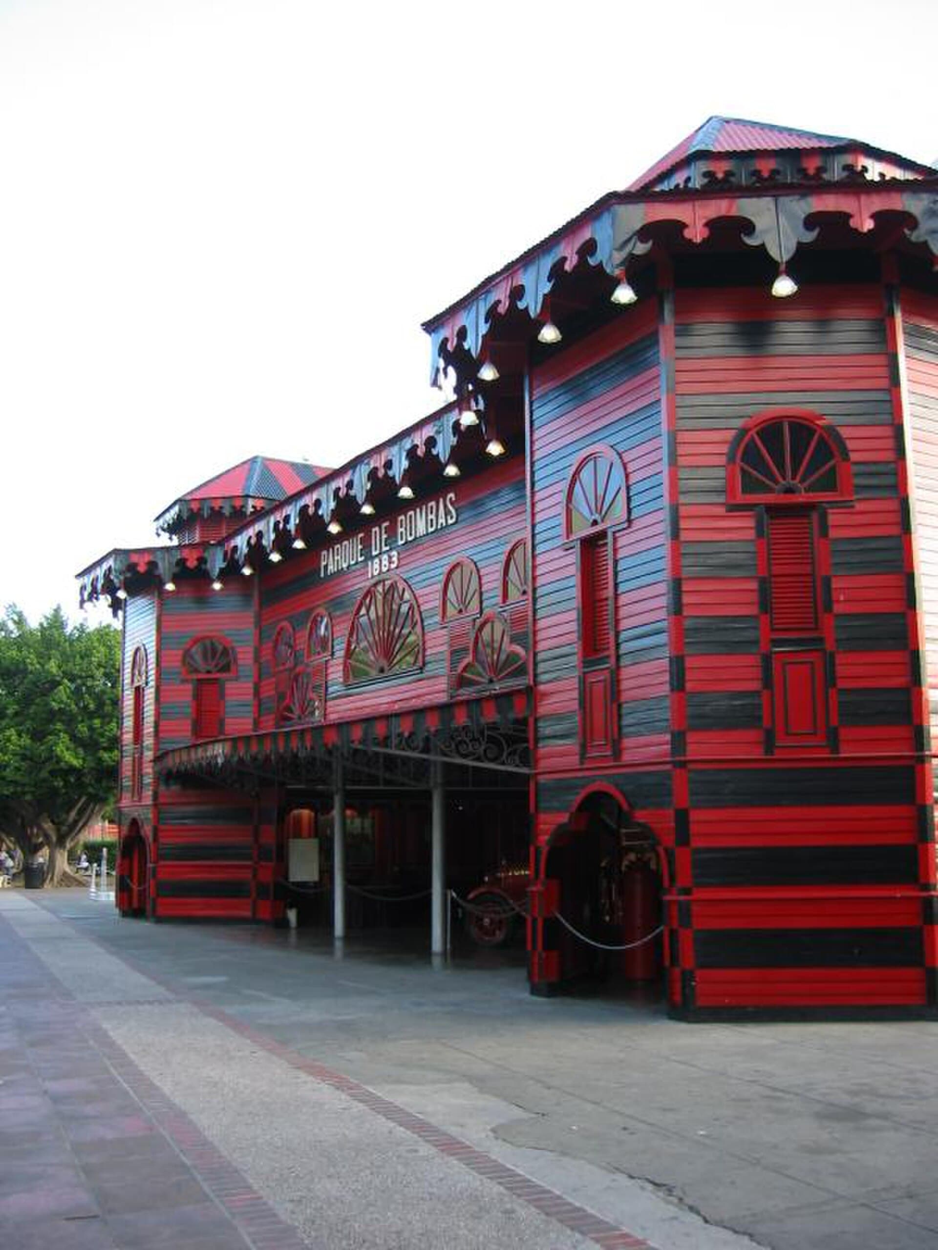
La Perla del Sur
The cultural capital of the south coast — neoclassical architecture, a world-class art museum, and a plaza that still throws a Sunday.
Explore Ponce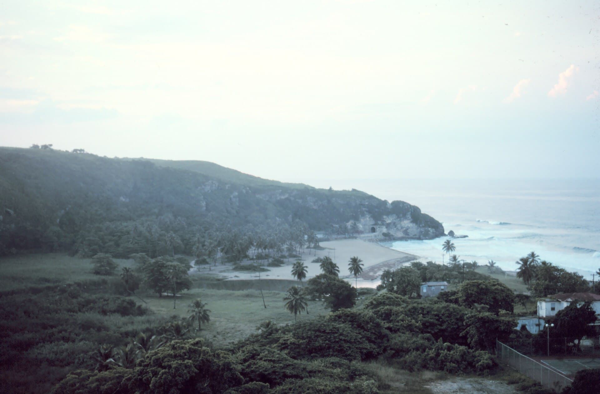
Guardarraya del Norte
The boundary between the north coast and the west — dramatic Atlantic cliffs, the Túnel de Guajataca, Lake Guajataca to the south, and a coastline unlike any other pueblo's.
Explore Quebradillas
Pueblo del Surfing
Puerto Rico's surf town — winter swells, west-facing sunsets, and a community that turned a fishing village into a global break.
Explore Rincón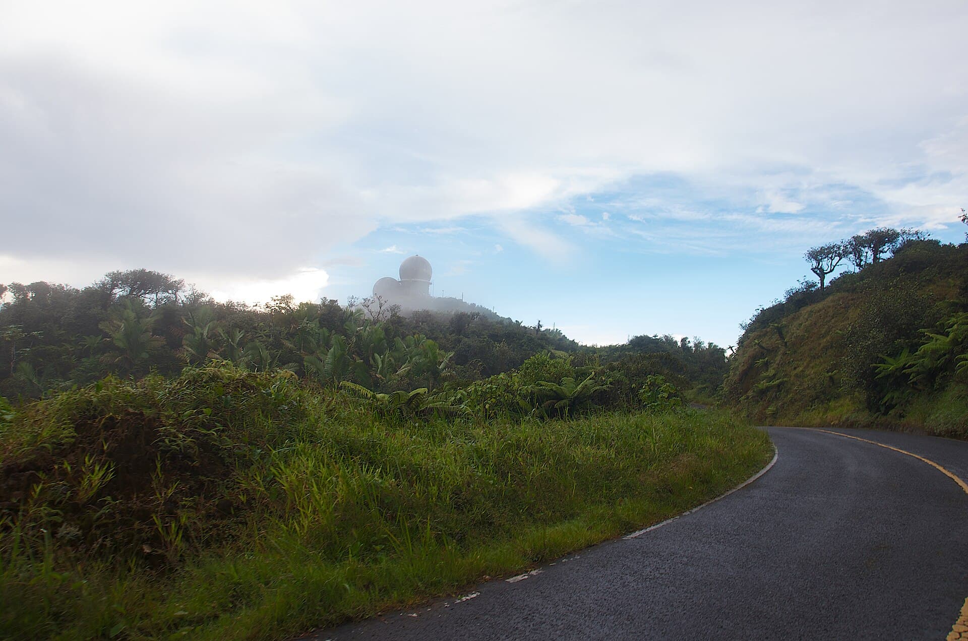
La Ciudad del Yunque
The main entry to El Yunque — the only tropical rainforest in the U.S. National Forest System — plus coastal resorts, the Río Espíritu Santo, and a coast-and-mountain combo in one town.
Explore Río Grande
Pueblo de los Prodigios
Where the Virgin appeared to three children in 1953. Pilgrimage site, colonial plaza, and southwestern mountains.
Explore Sabana Grande
El Pueblo del Mojito Isleño
The south-coast town where mojito isleño was born — Las Salinas salt flats, the Playa Salinas fishing village, and the Olympic Training Center next door.
Explore Salinas
La Ciudad de las Lomas
Puerto Rico's second-oldest town, founded in 1573 — Iglesia Porta Coeli (1606), two historic plazas, and a colonial historic district designated a National Historic Landmark.
Explore San Germán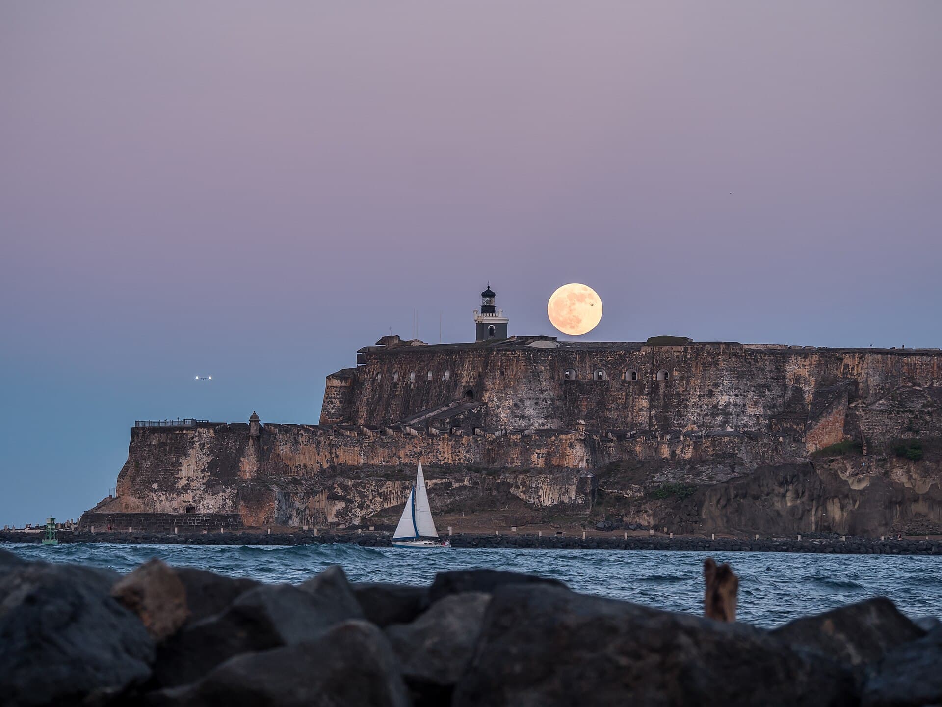
La Ciudad Amurallada
Puerto Rico's capital — five hundred years of walled city, beaches, and the country's cultural center, all in one.
Explore San Juan
Ciudad de los Samaritanos
Mountain town in the heart of the east. Espíritu Santo river, mavi tradition, and the country's best breadfruit.
Explore San Lorenzo
El Pepino
The town known as "El Pepino" — home of the inter-university Justas Atléticas, the Festival de la Hamaca, and a key crossroads from the cordillera to the northwest.
Explore San Sebastián
Pueblo de los Potros
Cradle of the Puerto Rican paso fino. Southern coastal town with horse and farming traditions.
Explore Santa Isabel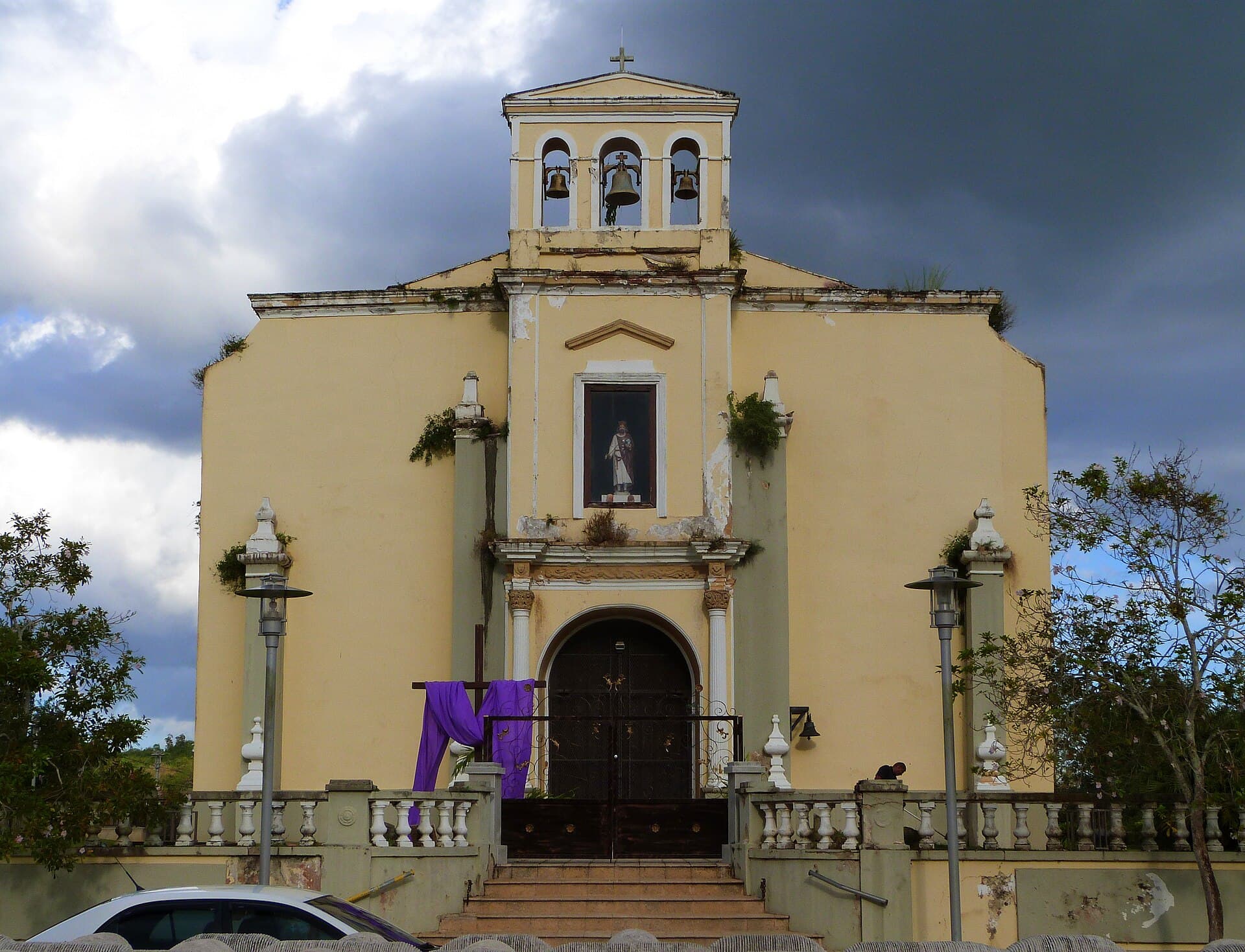
La Cuna de Pioneros
The metropolitan town in the first hills west of Bayamón — Lago La Plata, the La Plata River, and a residential-mountain character that's metro but doesn't feel like it.
Explore Toa Alta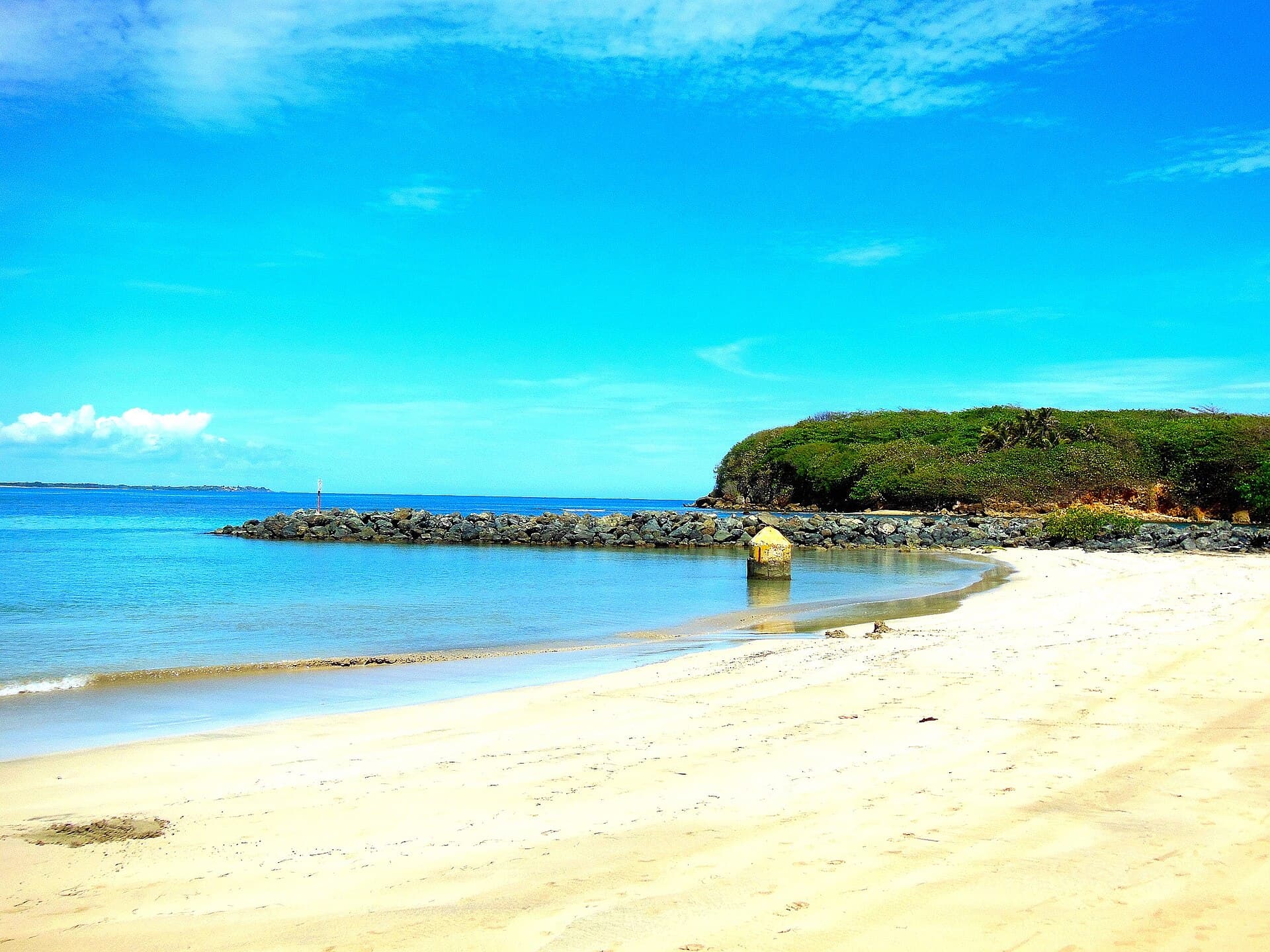
El Pueblo de Salvador Brau
The coastal town west of Bayamón — Levittown (PR's most famous mass suburb), accessible Atlantic beaches, and the legacy of historian Salvador Brau.
Explore Toa Baja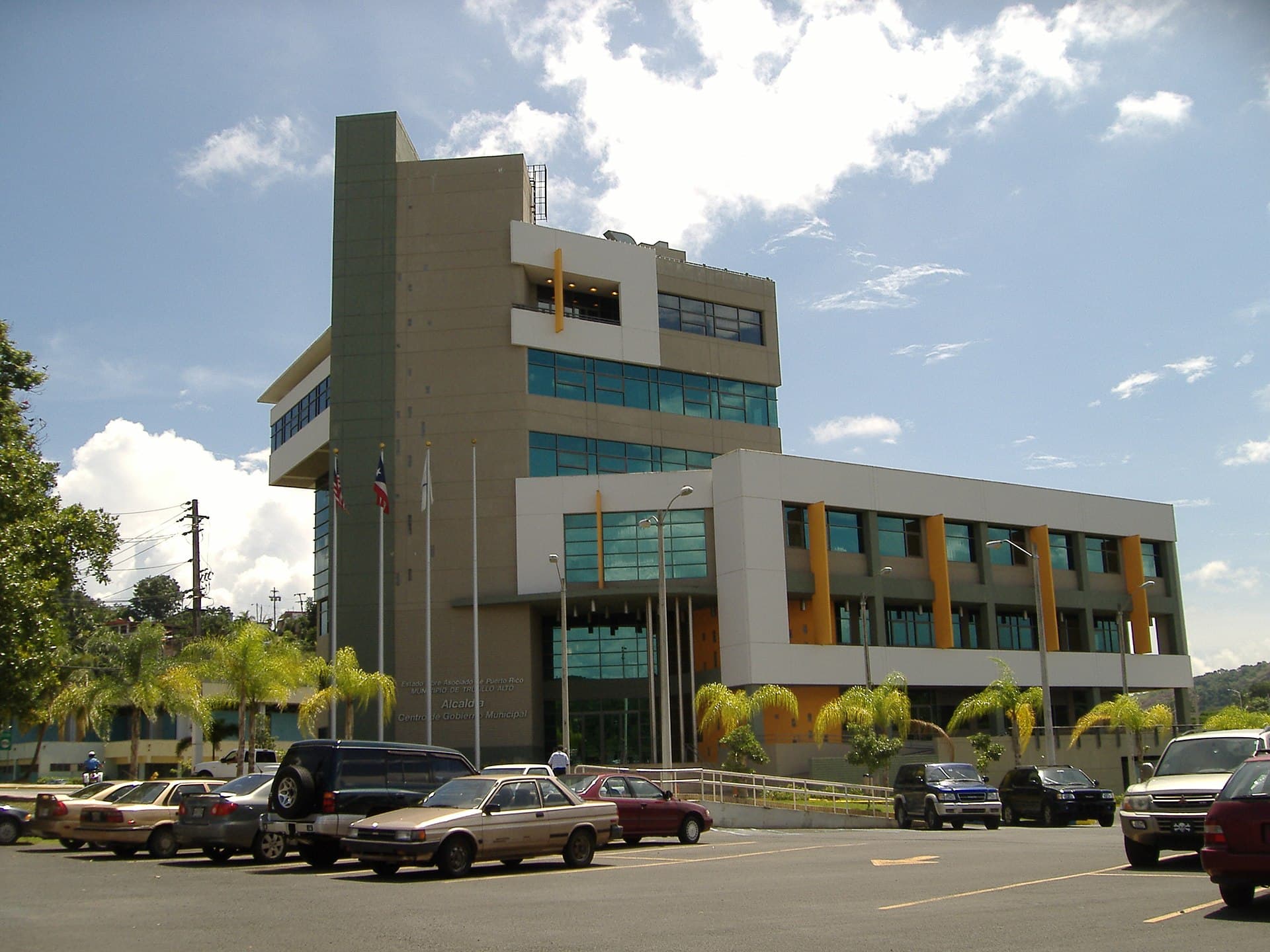
La Ciudad en el Cielo
The hillside metro town — Lago La Plata (Carraízo reservoir) with mountain scenery, San Patricio Forest, and a higher, greener residential character than the rest of the metro.
Explore Trujillo Alto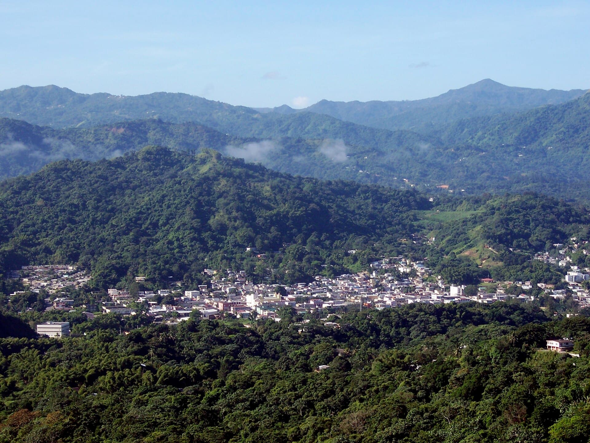
La Ciudad del Vivi
The coffee heart of the cordillera — Taíno petroglyphs, Lake Caonillas, coffee farms, and Puerto Rico's highest hills.
Explore Utuado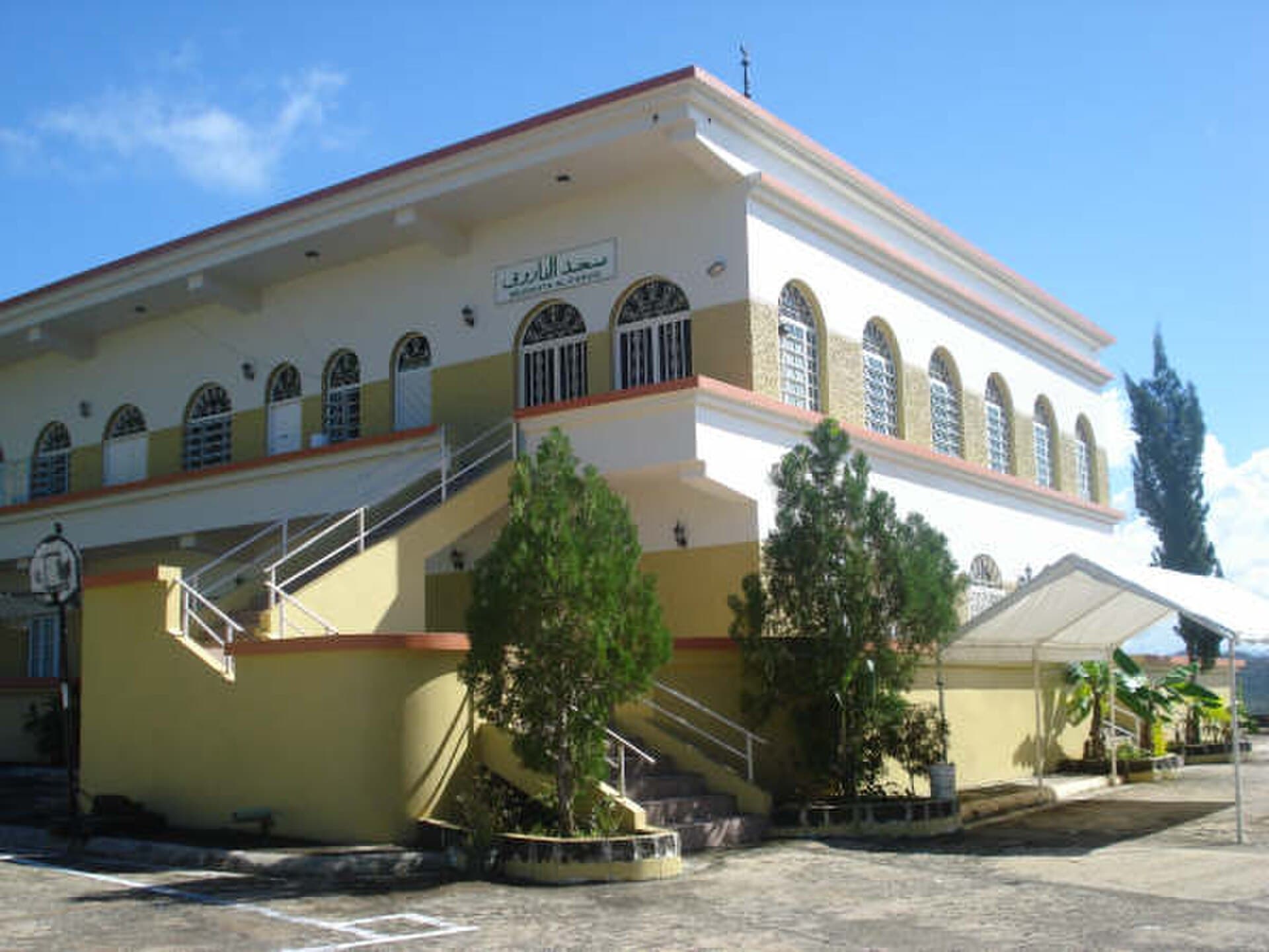
Pueblo del Maví
North coast town with lesser-known surf beaches and a century-old maví tradition.
Explore Vega Alta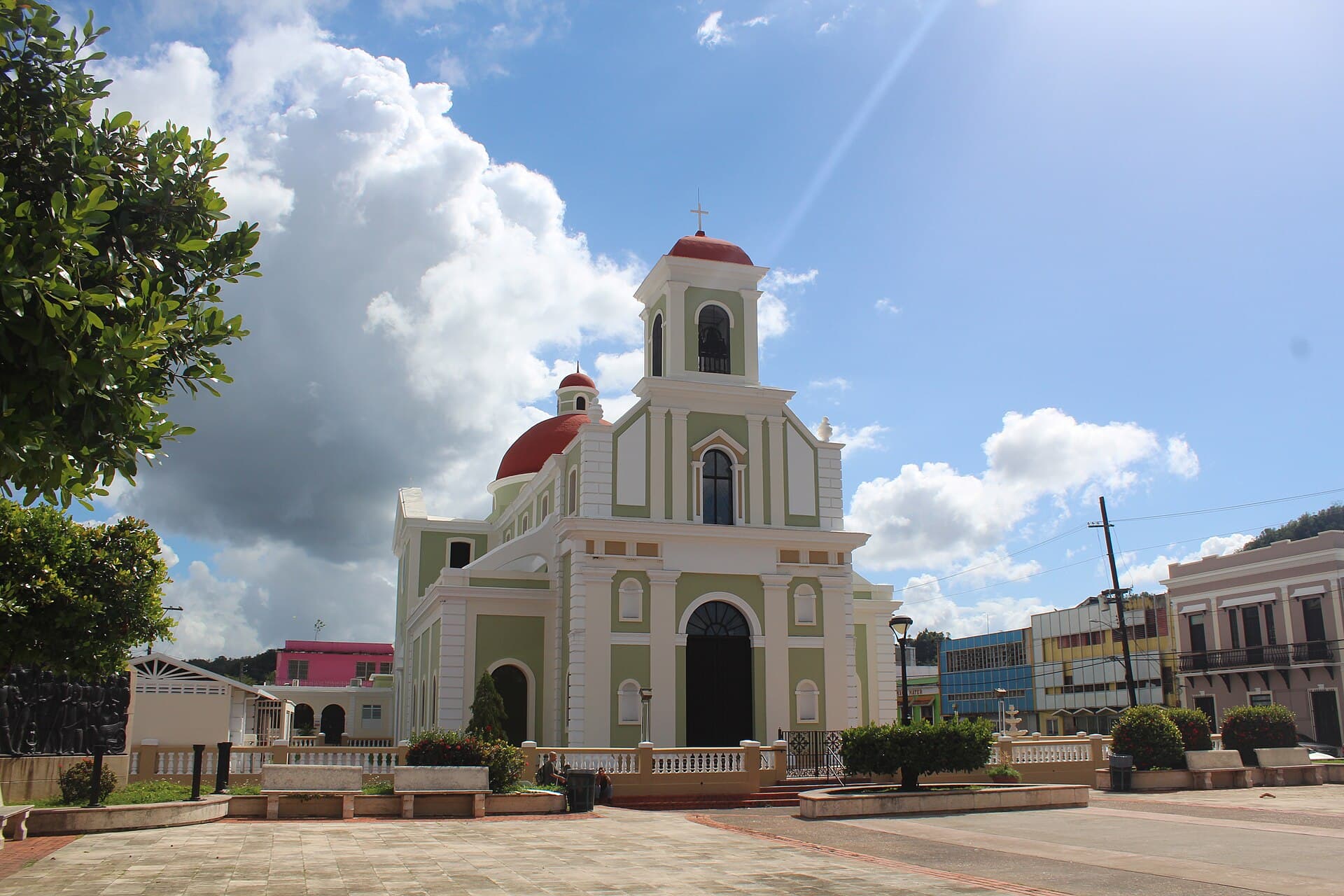
La Ciudad del Melao Melao
The north-central coast — Tortuguero Lagoon, Playa Mar Chiquita with its natural rock arch, and a historic sugar-cane town just west of the metro area.
Explore Vega Baja
La Isla Nena
The island municipality off the east coast — the brightest bioluminescent bay in the world, untouched beaches, loose horses, and a rhythm no other pueblo in Puerto Rico has.
Explore Vieques
Ciudad del Lago Toa Vaca
Mountain town above the south. Lake Toa Vaca, green mountains, and the jíbaro character of the cordillera.
Explore Villalba
Ciudad del Azúcar
Southeastern coastal town, sugar-cane valley with deep agricultural roots and the 2017 landfall point of Hurricane María.
Explore Yabucoa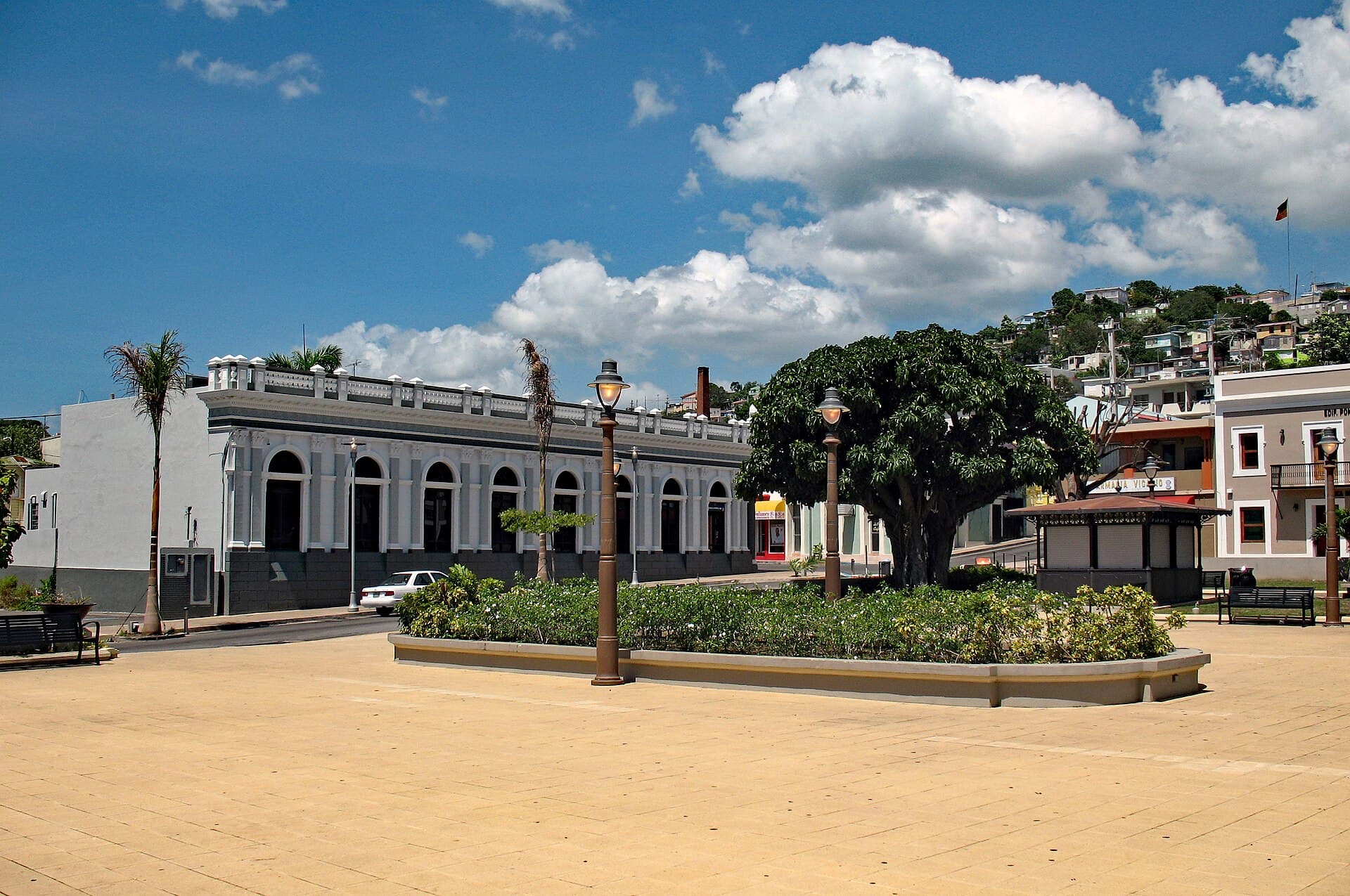
El Pueblo del Café
Puerto Rico's coffee capital — coffee mountains, Italian-Corsican architecture inherited from 19th-century immigrants, and the southern Festival Nacional del Café.
Explore Yauco